Eastern Fram Strait Paleo-Archive

School of Rock 2023

Expedition 398: Hellenic Arc Volcanic Field
The Hellenic Volcanic Arc has many geologic mysteries waiting to be solved. Scientists aboard Expedition 398 will try to:
- Better understand links between the movement of the Earth’s crust and activity of volcanoes in the region. Expedition scientists want to know whether fault movements or earthquakes triggered eruptions here in the past
- Improve our understanding of the famous Late Bronze Age eruption of Santorini and our ability to predict future hazardous underwater eruptions in the area.
- Reconstruct as much of the eruptive history of the area around Santorini as possible. This includes the Santorini volcano and the nearby Christiana and Kolumbo volcanoes.
- Study the slow sinking of the Aegean basin over time, recording a transition from continental to marine environments.
- Look for evidence of microbial life buried deep inside the Santorini caldera.

Expedition 395C: Reykjanes Crustal Objectives
Our scientists have shown an incredible amount of adaptability and resilience over the last year. IODP Expedition 395C plans to carry out the general planned objectives of IODP Expedition 395:
- To test contrasting hypotheses for the formation of V-Shaped Ridges,
- To understand temporal changes in ocean circulation and explore connections with plume activity, and
- to reconstruct the evolving chemistry of hydrothermal fluids with increasing crustal age and varying sediment thickness and crustal architecture.
We will be attempting this with a greatly reduced scientific presence onboard the JOIDES Resolution. Instead of our usual fully-staffed Science Party, the majority of our scientists will be participating virtual from shore. A crew of our Expedition Program Manager/Staff Scientist and a couple dozen technicians will work to ensure that the science will still be done.

The main objective of Expedition 390C is to install re-entry equipment at five sites, ahead of Expeditions 390 and 393 in 2022. Drilling will begin close to the Mid-Atlantic Ridge and move in a westerly direction, taking core samples of the basalt crust to establish the basement depth at these sites. These activities will save operational time during the upcoming expeditions. This expedition was put in place when the pandemic caused the delays of multiple expeditions. This expedition is carrying no science party – only crew and technical staff. It took great care and extraordinary effort by all these staff and crew members to adhere to strict COVID safety protocols, multiple quarantine periods and testing to make this happen. This is a true testament to the dedication of our crew and staff and to the importance of science!

Expedition 397: Iberian Margin Paleoclimate
Temperatures are rising, weather patterns are intensifying, and the concentration of carbon dioxide in our atmosphere is increasing very rapidly. There’s no denying we are experiencing a time in Earth’s history in which the global climate is changing. As we observe these changes taking place within our own lifetimes, the question becomes: WHAT WILL HAPPEN NEXT?
Sometimes, to know the future we must look to the past. Expedition 397 aims to collect cores of marine sediment off the coast of Portugal that will provide high-resolution data about variations in Earth’s ancient climate. The more we understand about Earth’s past environments, the greater our ability to assess how our planet is changing today and in the future.

Expedition 393: South Atlantic Transect 2
The South Atlantic Transect is a combination of two expeditions of the JOIDES Resolution: Expedition 393 (this one, 7 June to 7 August, 2022) and the previous one, Expedition 390 (7 April to 7 June, 2022).
This joint scientific ocean drilling project seeks to:
- recover a complete sedimentary record and ~250 m of oceanic crust at 31°S across a transect perpendicular to the Mid-Atlantic Ridge in the South Atlantic Ocean
- target six primary sites on ocean crust aged between 7 and 61 million years old

Expedition 390: South Atlantic Transect 1
The South Atlantic Transect is a combination of two expeditions of the JOIDES Resolution: Expedition 393 (this one, 7 June to 7 August, 2022) and the next one, Expedition 393 (7 April to 7 June, 2022).
This joint scientific ocean drilling project seeks to:
- recover a complete sedimentary record and ~250 m of oceanic crust at 31°S across a transect perpendicular to the Mid-Atlantic Ridge in the South Atlantic Ocean
- target six primary sites on ocean crust aged between 7 and 61 million years old

Expedition 392: Agulhas Plateau Cretaceous Climate
The International Ocean Discovery Program drilling cruise to the Agulhas Plateau will investigate the interplay between changes in global climate, ocean depth and ocean circulation. It aims to recover first-ever deep geologic samples from this large oceanic plateau situated approximately 500km south of South Africa.
The team has targeted five sites for sampling, some more than 4,000 meters below the sea surface. This feat of engineering involves drilling down through thick sedimentary layers to reach the lava flows below.
The goals of the science team include determining the origin of the plateau while reconstructing the processes that followed the opening of ocean gateways in the Southwest Indian Ocean over the past ~120 million years and associated climatic responses.

Expedition 391: Walvis Ridge Hotspot
Expedition 397T: Transit and Return to Walvis Ridge
Referred to by many scientists as "the most unusual hotspot track on Earth," the Walvis Ridge holds important clues to the behavior of mantle plumes and the formation of oceanic crust.
 Scientists on this expedition will investigate Cenozoic climate and oceanography through a drilling transect in the South Pacific Ocean.
 On Expedition 385, the JR will drill at key locations in successions of sediments and sills of varying age and temperature to explore the physical and chemical gradients along present and extinct fluid pathways. The science party will also investigate subsurface microbial communities that are sustained by the chemical compounds which are present below the seafloor. This will allow us to have a better idea of their efficiency at capturing these carbon-containing products and to advance our understanding of the conditions that limit life in the depth of our planet.
 Scientists on board Expedition 385T will revisit two Deep Sea Drilling Project (DSDP) and Ocean Drilling Program (ODP) legacy sites—Holes 504B and 896A on the Costa Rica Rift flank—to advance lithostratigraphic, hydrogeological, and deep biosphere studies of upper oceanic crust.
In addition to the science party, 12 undergraduate students from around the country will live and work on board to learn about IODP, the technology and engineering of the JOIDES Resolution, observe operations, learn about science communication techniques and strategies, and take part in life at sea.
 Scientist on this expedition will investigate the Pliocene-Pleistocene atmosphere-ocean-cryosphere dynamics of the Pacific Antarctic Circumpolar Current (ACC), and their role in regional and global climate and atmospheric CO2 based on sediment records with the highest possible stratigraphic resolution.
 This expedition will explore changes in the Antarctic Ice Sheet over long time periods by studying sediment deposited by icebergs and changes in sea ice, ocean currents, and winds.
 A team of 116 ship crew, scientists, technicians, and communicators takes to the Amundsen Sea, Antarctica's fastest-warming sea, aboard the JOIDES Resolution. Over the course of their two-month mission, they plan to drill at least five sites beneath the seabed and bring home sediment samples that are millions of years old, in order to recreate the history of the West Antarctic Ice Sheet (WAIS).
 Expedition 368X was planned to reoccupy a site started by Expedition 368. Due to equipment breakdown during Expedition 368, Hole U1503A was abandoned after installing casing to 991.5 m below sea floor. Expedition 368X was able to take advantage of a unique opportunity in the JOIDES Resolution schedule.
 School of Rock 2018 will focus on Pacific Rim geology and the science research of the JOIDES Resolution. Field trips will explore the fascinating geological history of the Auckland NZ region, including arc and intraplate volcanism (Rangitoto Volcano above), and deep sea sedimentary processes.
 Expedition 376 will study submarine hydrothermal systems at the Brothers Volcano in the Kermadec-Tonga Arc.
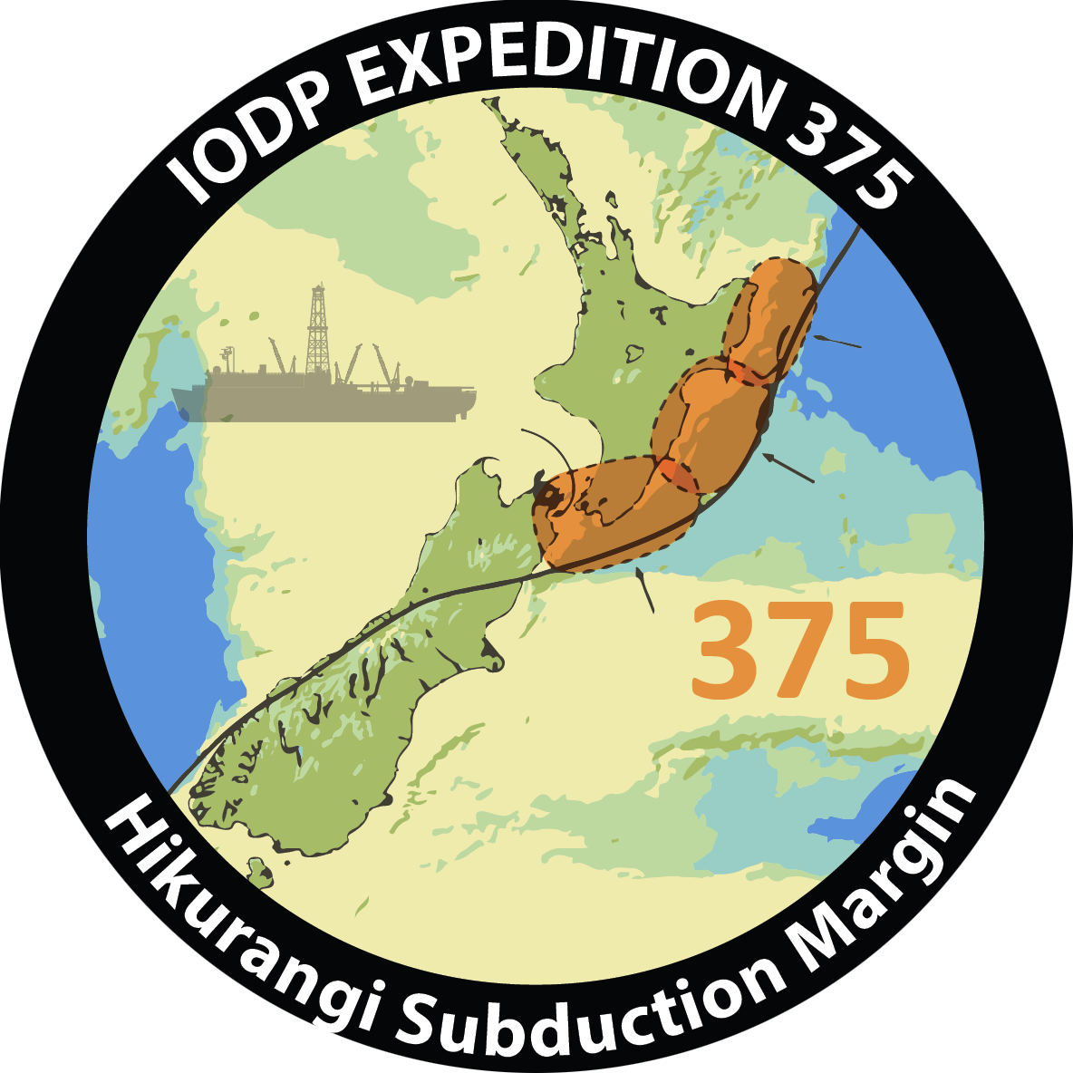 Scientists will study core samples and install two observatories to better understand the processes and conditions that underlie slow slip events at the Hikurangi Subduction Zone.
 Expedition 374 investigates how the West Antarctic Ice Sheet (WAIS) has evolved with climatic and oceanic change over the past 20 million years. The Ross Sea is an ideal location for this study because it is highly sensitive to changes in ocean heat flux and sea level. This work will lead to a better understanding of Antarctic ice sheet sensitivity to warmer climates.
 Expedition 372 investigates slow slip events (SSEs) on subduction faults, as well as actively deforming gas hydrate-bearing landslides. The Hikurangi margin east of New Zealand is a unique study area that allows scientists to address both research topics.
 Deep into the Cretaceous hothouse period
 An international education and outreach program developed tools and techniques that facilitate the communication of exciting scientific drilling results to a broad audience, built educational curricula, and created media products that will help achieve critical outreach goals.
 Expedition 371 aims is to improve the understanding of the role of plate tectonics in global climate evolution over the past 60 million years. To achieve this, the expedition primarily focuses on obtaining a precise date and metics which will allow the testing of alternate geodynamic models.
 Along the South China Sea Rifted Margin (SCSRM) a thinning crust of Earth's outermost shell, the lithosphere, creates a mystery to unravel. Expeditions 367 and 368 of the International Ocean Discovery Program worked together over the course of 4 months at sea to uncover the processes of continental break up. By retrieving core samples from the bottom of the SCSRM the team of 66 international scientists looked back in time, the geologic record, at the opening of SCSRM.
 Which tectonic model is the one in action in the South China Sea? One of these two already known or even a third one? This was the main goal of Expedition 367 (and 368 also) in the South China Sea (SCS). By drilling along the SCS rifted margin scientists wanted to understand the mechanisms of lithosphere extension during continental breakup in a magma-poor rifted margin.
 The scientists on this expedition hoped to learn (1) how sediments, fluids and chemicals move and cycle through the earth’s crust; (2) the role of tectonics and mud volcanoes in transporting fluids and sediments in subduction zones; and (3) how these physical and chemical movements impact living organisms.
 Scientists gain a greater understanding of past climates and ocean currents by examining the core samples, the types of plankton and the make up of their shells from this area.
 The School of Rock 2016: Exploring Ocean Cores and Climate Connections: From Antarctica Across the Southern Ocean was a professional development opportunity for formal and informal educators.
 Why do earthquakes happen where and when they do? This expedition observed the sediment that gets scraped off the seafloor before getting caught in faults where earthquakes occur.
 The JOIDES Resolution drilled six sites on the southeast African margin and Indian–Atlantic ocean gateway to better understand the relationship between the Agulhas Current -- the strongest western boundary current in the Southern Hemisphere -- and the development of climate in southern Africa during the Pliocene/Pleistocene periods.
 Scientists investigated the transition to Earth's mantle, the creation of mid-ocean ridge basalt, and the limits of life in Earth's crust.
 Studying core samples from this region assisted in the reconstruction of the paleooceanographic evolution over the past 23 million years, aiding in our understanding of climate change.
 The JOIDES Resolution investigated the northwest Australian shelf to answer questions about tectonics, Australian monsoon, and the development of ocean currents in this region.
 Scientists sought to understand the interaction between the Himalayas and Tibetan plateau uplift and the development and evolution of the Indian summer monsoon.
 Scientists explored the relations between the growth of the Himalaya, the development of the monsoon cycle, and past global climate.
 By studying the foraminifera in the sediment, scientists uncovered the mysteries of the past climate and changes in monsoon activity.
 What happens at the edges of large oceanic plates when subduction begins?
 Scientists studied both the sediment of the oceanic crust and igneous basement to identify processes associated with subduction.
 Scientists targeted the Izu-Bonin-Mariana (IBM) arc, off the southern coast of Japan, to understand the initiation and evolution of oceanic arcs which produce a string of volcanic islands above the subduction zone.
 Scientists investigated the formation of the South China Sea, a marginal sea in the Western Pacific located south of China and between the Philippines in the east and Vietnam in the west.
 Scientists explored the development and evolution of monsoon patterns and their relationship to past changes in the Japan sea.
 Scientists sampled, for the first time, primitive magmatic rocks of the lower crust in the oceanic Pacific in order to understand the manufacturing process of the oceanic crust at a fast-spreading rift.
 Scientists investigated how earthquakes form (seismogenesis) where plate boundaries exist, specifically in subduction zones.
 In 1912 the Titanic collided with an iceberg in the frigid waters of the North Atlantic. 100 years later, Expedition 342 wanted to discover past climate conditions that led to the Arctic ice that sank the unsinkable.
 Scientists explored the evidence of glacial erosion and established the timing of advance and retreat cycles of ice sheets in the Southern Alaska Margin.
 Expedition 340T measured rock properties, how they varied with depth, and whether adjacent seawater temperatures changed. These data tested hypotheses about how crust forms and evolves at the slow-spreading Mid-Atlantic Ridge.
 An expedition to drill into volcanic landslide deposits (underwater avalanches) to investigate the long term geological history of the region and potential for natural hazards.
 Scientists studied the sediments deposited by the MOW in the Gulf of Cadiz and the SW Portuguese continental margin to understand the opening of the Gibraltar Gateway, the onset of the MOW, and its influence on the North Atlantic thermohaline circulation, sea level changes and past climate oscillations.
 By installing three subseafloor observatories (“CORKs”) into the ocean crust, IODP scientists gained new information that help to understand what life is like below the ocean floor.
 Scientists drilled a deep hole into intact oceanic basement to understand the formation of oceanic crust and the magmatic rocks of the lower crust.
 Scientists focused on the boundary conditions of lithology, fluid flow, and thermal structure that trigger unstable slip in the seismogenic zone to better understand the processes that control large earthquakes at these sites.
 Scientists studied cores to better understand the movement and evolution of a hotspot that created a chain of underwater volcanoes.
 Scientists penetrated a total of 630 m at seven different drill sites to define the physical and chemical limits of subseafloor microbial life in tectonic and oceanographic settings not yet explored.
 A new subseafloor observatory (ACORK) was installed to monitor pressure at different depths in the ocean floor over time.
 Scientists explored the process of mantle convection and its impact on Earth’s surface through volcanism.
 Scientists collected sediments from the relatively isolated Bering sea to examine the extent and causes of past climate changes.
 Expedition 321T cemented reentry cones around sub-seafloor borehole observatories and played host to the School of Rock 2009 teacher research expedition.
 The first part of this expedition began in Honolulu, Hawaii on 5 March 2009 and ended on the 5th of May when Expedition 321 began. Together, the expeditions investigated equatorial climate change tens of millions of years ago.
 Scientists took cores from the seafloor to investigate when and why the ice sheet started growing on Antarctica and how the ice sheet has grown and melted during the last 35 million years.

Scientists investigated core sample to figure out if ancient changes in sea level were caused by glacial freezing and melting or by the displacement of rocks.
