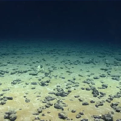
Actvity Summary: Students will be able to map locations using latitude and longitude data for the purpose of describing ocean coring sites and describe the sediment and microfossils with ocean sediment cores to understand how scientists use qualitative data to make inferences.
In this introductory activity, students will analyze core sample data to identify sediment composition on the ocean floor. During this process, they will map ocean drilling sites using latitude and longitude, locate and access core sample images from the JOIDES Resolution database, make their own qualitative observations, and then plot sediment data. Students should be at least familiar with types of sediment and microfossils.
This lesson has been revised and updated based on It’s Sedimentary, My Dear Watson.
author: Chelsea Robinson
edited by Lindsay Mossa
edited by Lindsay Mossa
- Standard A: Unifying concepts and processes in science
- Standard E: Earth and space science
- Stability and change
- Developing and using models
- ESS2.A Earth materials and systems
