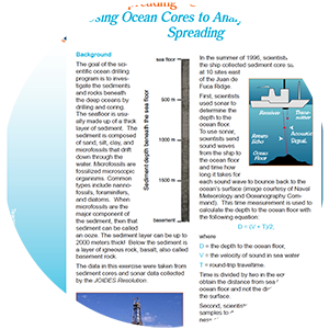
Actvity Summary: Using Google Earth and ocean cores to analyze seafloor spreading.
We made an updated version of this lesson! Check out Crustal Clues: Investigating Seafloor Spreading.
Learning Objectives:
Students will be able to:
- Evaluate sonar and core data collected by the Ocean Drilling Program (ODP) that support seafloor spreading.
- Use the data to create a graph showing the relationship between distance from the spreading center, depth to the ocean floor, and thickness of the sediments.
- Explain a historical perspective of science research
- Standard B: Science as inquiry
- Standard C: Physical science
- Standard D: Life science
- Standard E: Earth and space science
- Patterns
- Cause and effect
- Scale, proportion, quantity
- Stability and change
- Asking questions and defining problems
- Developing and using models
- Planning and carrying out investigations
- Engaging in argument from evidence
- Obtaining, evaluating, and communicating information
- ESS1. C The history of the planet Earth
- ESS2.B Plate tectonics and large-scale system interactions
- ESS2.C The roles of water in Earth’s surface processes
- ESS2. E Biogeology
- LS1.B Growth and development of organisms
- LS1.C Organization for matter and energy flow in organisms
- LS2.A Interdependent relationships in ecosystems
