Earthquakes and Plate Boundaries
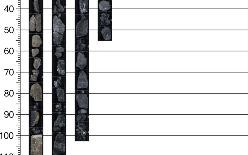
Measuring Cores: Practice Using Rulers
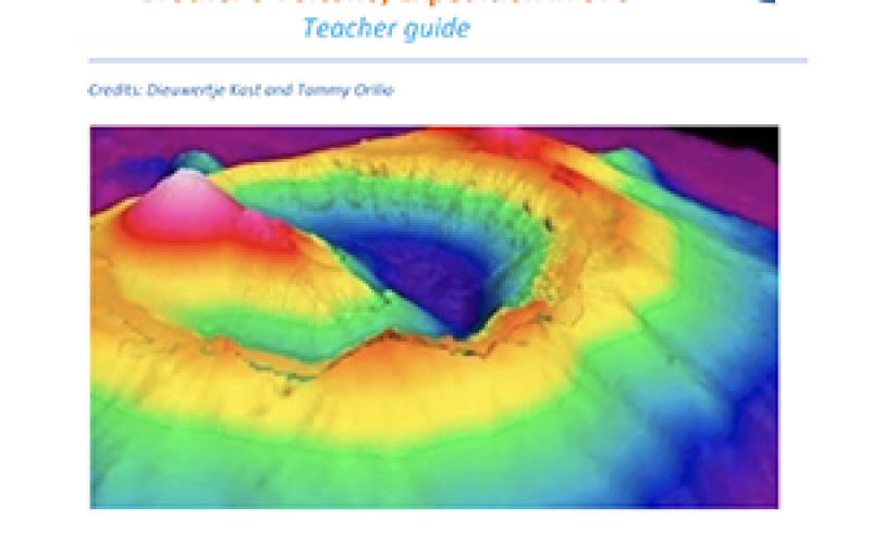
Augmented Reality Sandbox
From May – July 2018, scientists aboard JOIDES Resolution Expedition 376 collected core and borehole data from various sites in…
Finding Fossils: A Biostratigraphy Activity
The aim of this exercise is to show students how we determine the age of a sediment sample on board…
From the Mountains to the Ocean
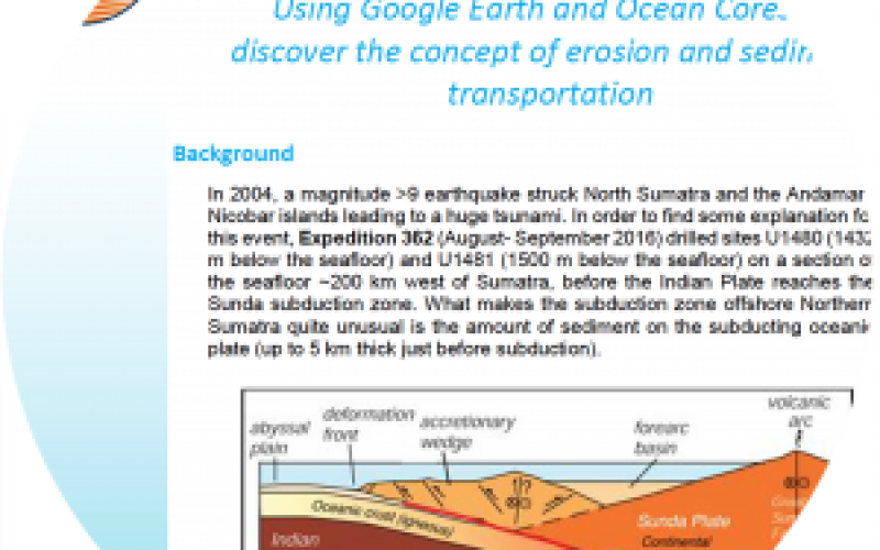
In 2004, a magnitude >9 earthquake struck North Sumatra and the Andaman-Nicobar islands leading to a huge tsunami. In order…
Where in the World?
Because our planet is a sphere, we need two types of reference lines to locate positions on the Earth and…
3D Contour Maps
Contour maps are representations of part of Earth’s surface that use contour lines to show either elevation above sea level…
Modeling the Rock Cycle
The rocks that make up the Earth are constantly being recycled. One form of rock is often changed into another…
Biodiversity of Hydrothermal Vents at Brothers Volcano
One measure of biodiversity of an ecosystem is the species diversity, which is a combination of both species richness and…