Tracking Expedition 390 in Google Earth
To increase accessibility to our expedition, click to listen to the page text read aloud.
We are utilizing Google Earth during South Atlantic Transect I to add a geospatial component to our communications and engagement. Explore the following three Google Earth files to learn more about the current location of JOIDES Resolution, what those on board might leave as voicemails from the ship, and the Expedition 390 science party. Note that the Google Earth interface we are using is browser-based, so you do not need to download the Google Earth program on your computer. The links we provide will open in any internet browser.
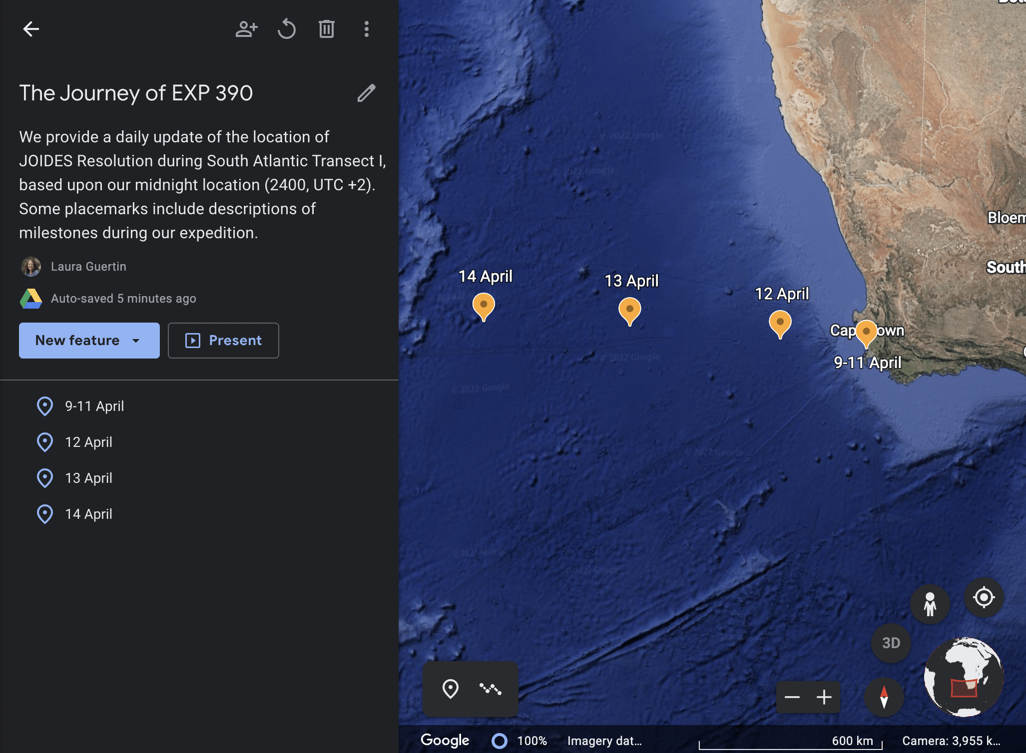
Where is the JR?
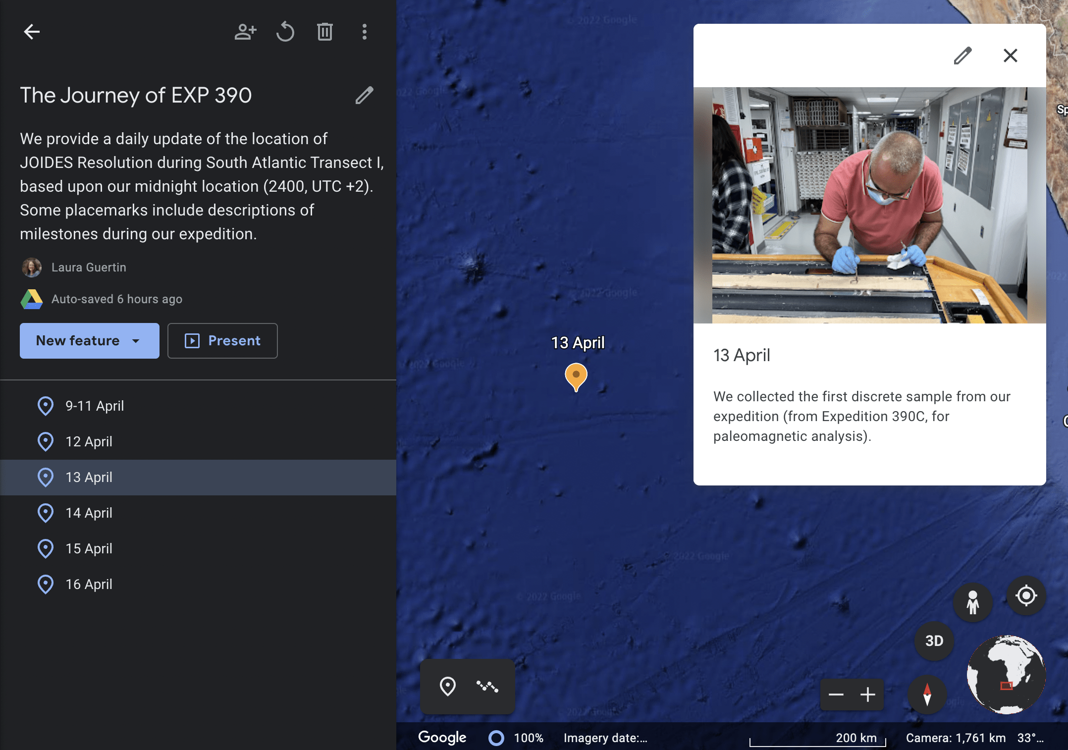
Expedition 390 departed Cape Town, South Africa, and headed west across the South Atlantic Ocean. To assist everyone in seeing where we are located, we are plotting our location each day in a Google Earth file, based upon our latitudinal and longitudinal coordinates at midnight South Africa Standard Time (SAST), the time zone we are following on the ship. Each placemark also contains an image taken on the ship and a short description from that date.
To track our ship’s location and daily highlights, visit: https://bit.ly/EXP390location
Voicemails from the JR
Let’s pretend that those sailing on the JR picked up the phone to call someone back home (we actually can telephone anyone from the ship by using a pre-paid phone card). But when the person from the ship called, the person on the other end of the line did not pick up the phone, and the answering machine started recording. What message would each of us leave if we called from the ship? This Google Earth file has the recorded voices of individuals on the JR and messages they would leave for family, friends, co-workers, and more. Each voicemail is organized by the date and location of where the ship was during the recording. Some recordings were done in the first language of our international scientists and crew on board. It is a fun way to hear what we would share during our time at sea on Expedition 390!
To listen to the voicemails recorded from JOIDES Resolution, visit: https://bit.ly/EXP390voicemails
Scientists on board the JR
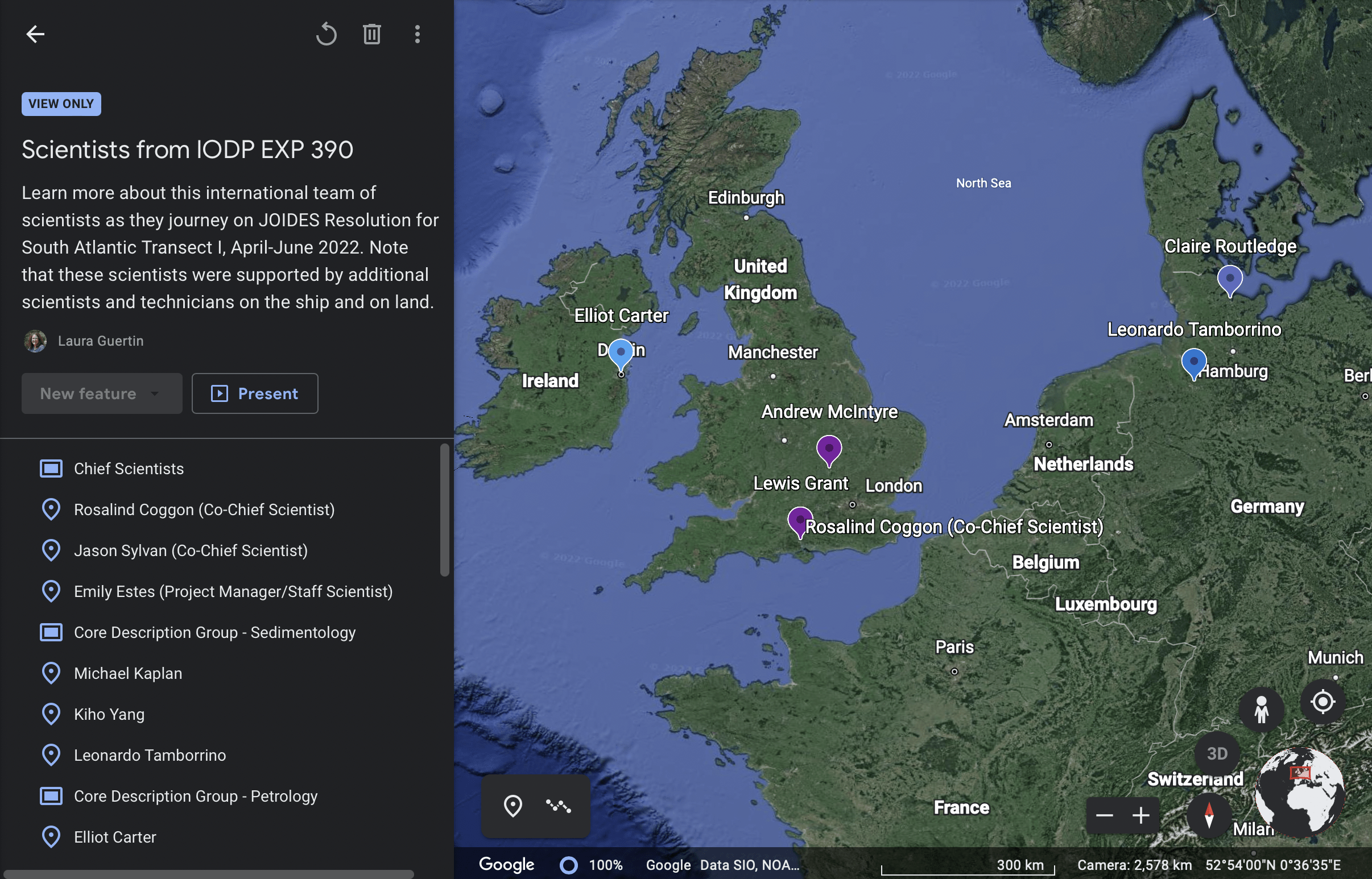
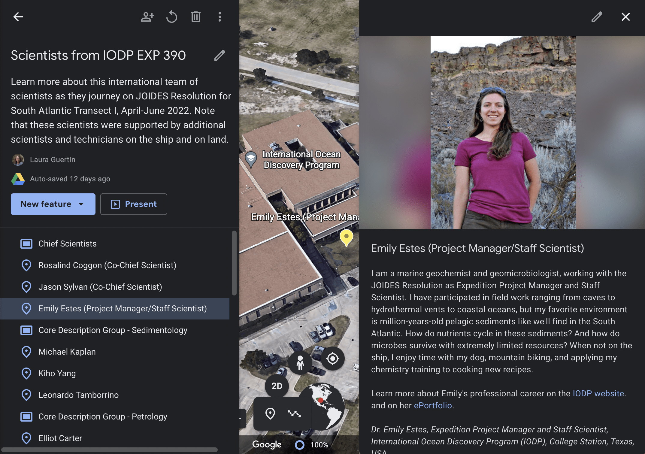
Scientists that join each expedition are from locations across the globe. This Google Earth interface has plotted the locations of where each member of the science party is currently working or studying as a graduate student. Within each placemark is a photo of the scientist, additional information about their science background, and a little bit about their personal interests and hobbies.
To explore the locations and to learn more about our scientists on board, visit: https://bit.ly/EXP390scientists
For ideas on how to use these Google Earth files in a classroom or with a community group, and to explore additional educational materials related to IODP Expedition 390, please visit: https://sites.google.com/view/iodp-exp-390/
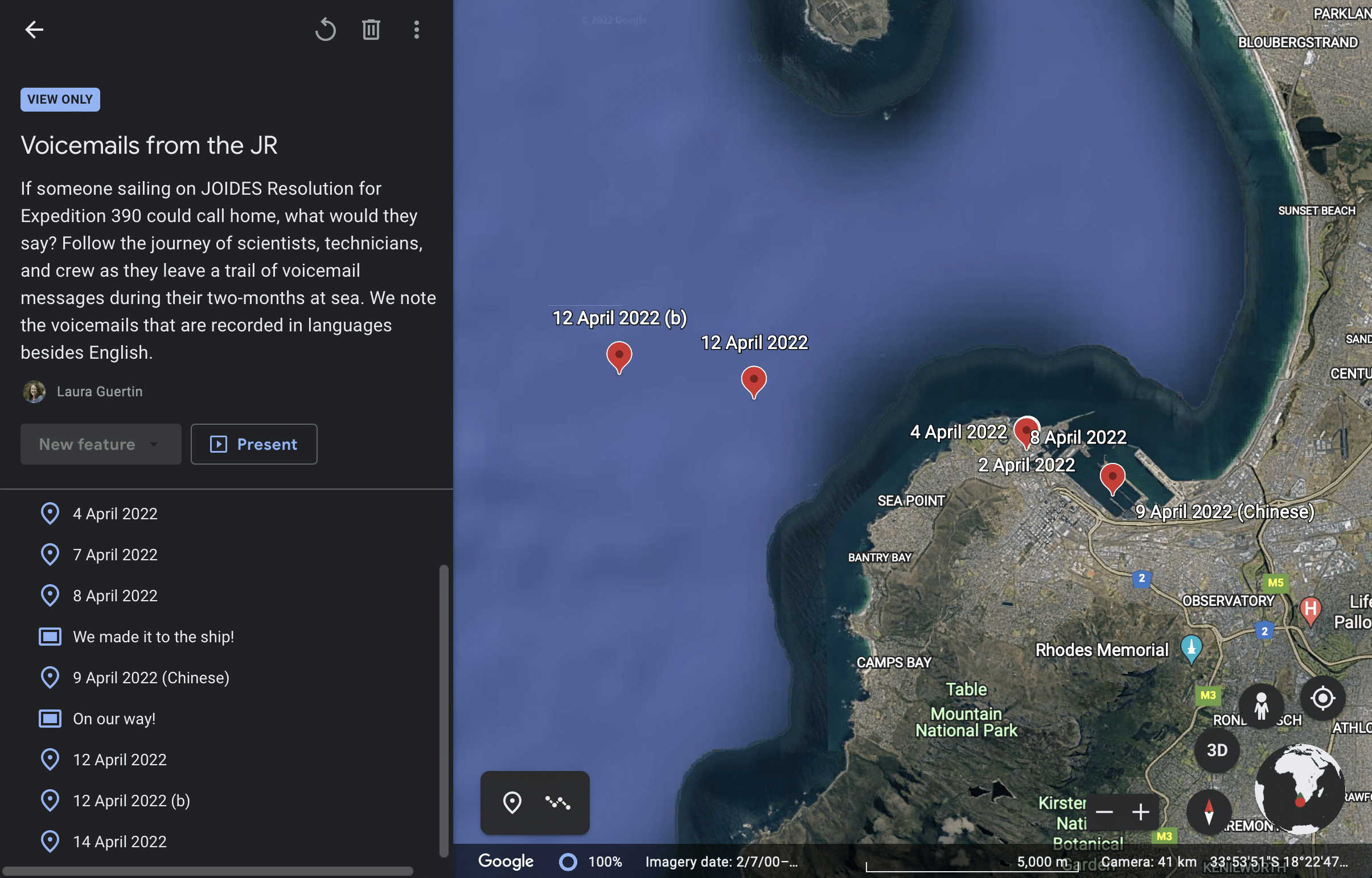
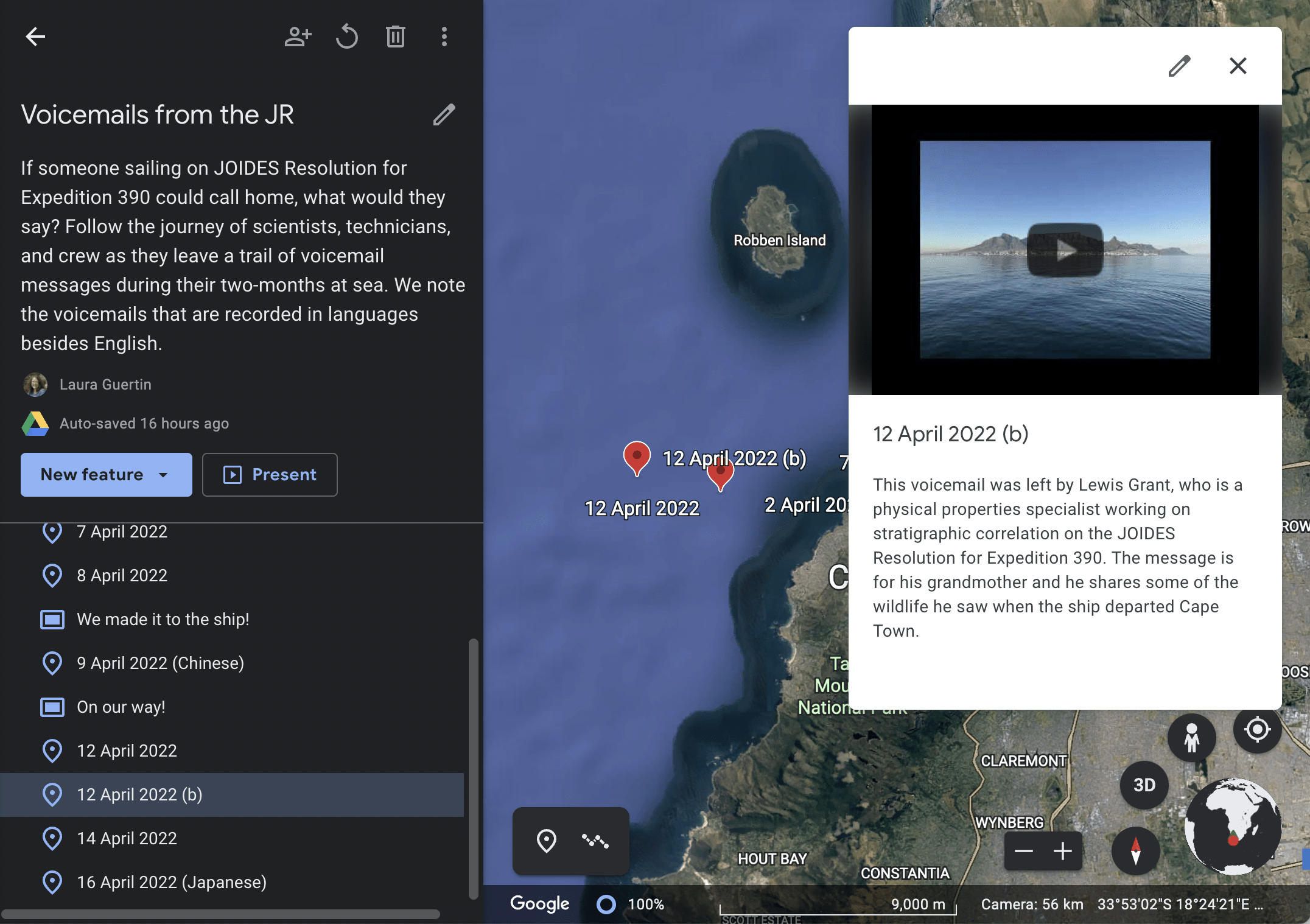
Some of the voicemails are marked with red, and some with yellow. What’s the color difference?
Ah, you may have more than one of our Google Earth files opened! The voicemail Google Earth file is using the red placemarks, and the yellow placemarks are in the daily Journey of the JR Google Earth interface. Thank you for checking out our resources!