Do You Know Where You Are?
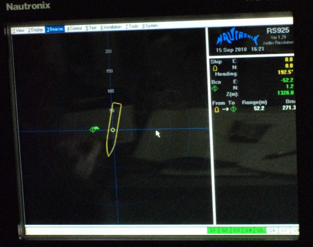
There are two navigation systems on the ship. The ‘regular’ navigation works from Port to Location using two large aft mounted turbines (screws) with rudders attached. The Captain on the Bridge does the driving. Then when location is reached 12 large dynamic positioning thrusters are set down into the water almost 8 feet below the hull. Here the DP Officer takes over. These thrusters are attached to a GPS system (not exactly a Garmin) and are used to keep the ship over the same precise spot while all this in and out of sea floor holes occurs. This is despite waves from wind or currents – you know the kind that make you feel queasy. There is also a very fancy radio beacon system that is launched to the sea floor that works in tandem with the GPS system as satellites go in and out of direct line of sight. You can go to https://joidesresolution.org//node/9 to see where we are right now!