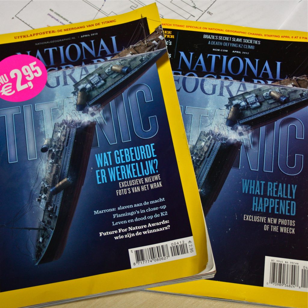
Ten Miles from the Titanic
It’s a little surreal floating in the North Atlantic right now. Sitting in the placid waters it’s easy to forget that we are just ten miles away from the site of one of the greatest maritime disasters of all time. As we drill into the past, the JR uncovers the glacial history of the North Atlantic. When did the ice form that sank “the unsinkable?”

Calm seas near the Titanic.
From the Expedition 342 Scientific Prospectus:
On 15 April 1912, the RMS Titanic, en route westward from Southampton, England, to New York City, USA, hit an iceberg off the Grand Banks of Newfoundland and sank, killing more than 1500 people. The two halves of the wreck lie between the volcanic seamounts of the Southeast Newfoundland Ridge because there the southward-flow-ing surface waters of the cold Labrador Sea carry icebergs to their intersection with the warm tongue of the Gulf Stream. Today the Titanic is bathed by the Deep Western Boundary Current because these new abyssal waters pass at depth under the Gulf Stream on their circuit throughout the deep basins of the world oceans.
But how can you study the way water moved millions of years ago? Today, both the northward-flowing Gulf Stream and the southward-flowing Deep Western Boundary Current cross over the drilling area leaving a record of their flow strength, chemistry, and biology in the sediment drifts beneath them.
Some of these changes can easily be seen within a core. Sometimes we find layers of very gritty sediment or even small rocks. This material was carried out to the Newfoundland sediment drifts by icebergs! This is how it works:

- As the glacier flows towards the ocean it scrapes along the mountains picking up sand, rocks, and even boulders!
- Pieces of rock are hidden within the ice as the glacier calves icebergs into the ocean.
- The iceberg floats out to sea…
- Eventually the iceberg begins to melt. As it melts the bits of rock and sand sink to the bottom of the ocean. The rocks that fall are called dropstones.
Dropstones are important because they show us the path that icebergs took as the floated with the currents. It is just like each iceberg left a trail of breadcrumbs behind for us to find. The dropstone “breadcrumbs” help us learn about the North Atlantic curents of the past.

This granite dropstone fell into the hole we were drilling (it’s from a modern day iceberg).