1301B, I’ve been here before!
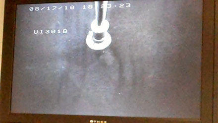
So here we sit at Site 1301 B, and it looks the same as always. It looks like the same ocean outside the window, and from what I can tell from the monitor on my desk, the seafloor looks the same, too (see photo, above).
After successfully installing the CORK at Hole 1362A (47º 45.6628’N, 127º 45.6720’W; water depth 2672 m), we moved just the tiniest bit west (47°45.228′N, 127°45.827′W; water depth 2611 m), where the bottom profile looks like this:

Instead of installing a CORK, this time we’re retrieving instruments from a CORK that contain samples and mesaurements collected here since 2005! It’s very exciting.
So here are a couple of things for you to think about:
- How far did we move?
- How was this profile picture made?
- Can you trace the seafloor in the profile?
- How do I know the seafloor looks the same as always?
Use the comment function below to send the answers. We’ll send a new JR t-shirt to the first person to answer all four questions correctly. No worries, no addresses will be published here.
Leslie (and yes, Tim, I do win the prize for the coolest job in the world, but everyone here thinks the same thing about their work!)