Coring on the Toe!
Where are we now?
Site 3! Off the western coast of Costa Rica, in the Pacific Ocean. Our NEW coordinates are N 8°30 min, W 84°8 min. We are at the green arrow. You can see the Isla de Cano to our Northwest.
.png)
Dreary rain, with fog and clouds. Air temperature is 27 °C (80 °F) and the water temperature is still 33 °C (toasty!) A nice pod of dolphins greeted us at this new site this morning (didn’t get a picture…)

Scientists at Work
For our final run last night before we left, the third logging attempt was unsuccessful because the TC (Triple Combo) ran into a snag at the end of the casing and couldn’t go any further, even though great pains were taken to prepare the hole. Before we left, we restored the site as per our environmental guidelines.
We arrived at the new site, U1380 (or CRIS 9A), about 3 am, and prepared to start drilling. We are further out toward the “toe” or edge of the top plate at the subduction zone, so we are in much deeper water, about 1900 m! That’s about one and a quarter miles above the seafloor.

Core on Deck!
Successful coring! We are getting cores coming in with regularity now and everybody is busy again with description, chemistry, and sampling. Before the core is split in half, it goes to the Phys Props Lab (Physical Properties) where they send it through the Whole Round Multi-System TRAC, where density, magnetic susceptability, and P-wave characteristics are measured.

.jpg)
The P-wave send a sonic wave through the core that can help determine rock strength and porosity. With porosity, scientists can determine how much “open space” there is between the grains in the rock. This information can tell them how much water is in the rock, called “pore water.”

Life on Board
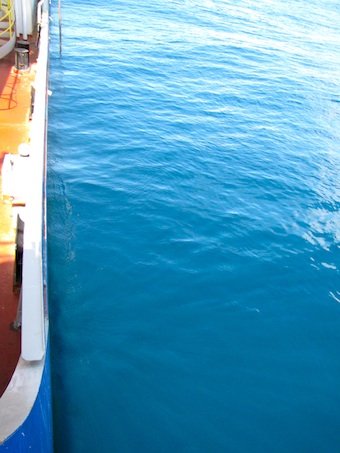
The calm beauty of the water here is incredible. You can see my shadow on the water as I leaned over to take this photo.

This morning, the clouds and rain were all around, sort of inclosing the ship in a grey morass. A fishing boat meandered around to the east of us.


But by mid-day the clouds cleared a bit and the ocean calmed, and we could see the Isla del Cano off the stern of the ship, but further away than we were accustomed to at the last drill site.

From the toe, west of Costa Rica…