Expedition Iceberg Alley
Expedition 382 is underway, and we’ll be heading to a part of the Antarctic called “Iceberg Alley.”
Where is Iceberg Alley?
The largest ocean current in the world flows around Antarctica in a clockwise direction. This is known as the Antarctic Circumpolar Current (ACC). But closer to the coast, a current circles Antarctica in the opposite direction. It’s called the Antarctic Coastal Current (ACoC), and it’s the route icebergs travel around the huge continent until they reach the Weddell Sea.
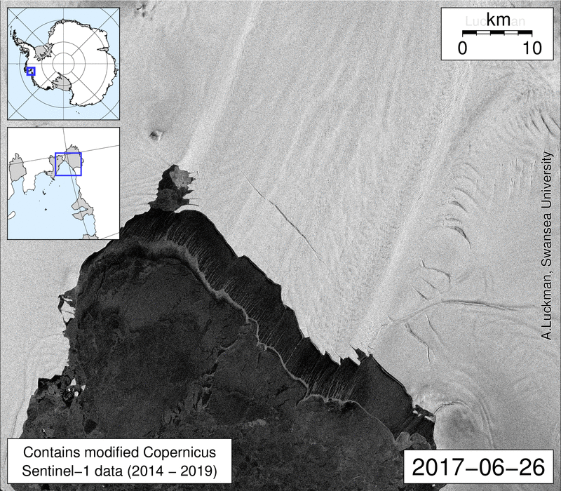
There their path is deflected northward by the Antarctic Peninsula. This is Iceberg Alley, along which icebergs drift until they reach the warmer waters of the Antarctic Circumpolar Current, where most Antarctic icebergs melt.
The yellow dots are our drilling sites. But to understand why we’re drilling here, we first need to talk more about what icebergs are and how they form.
What are icebergs?
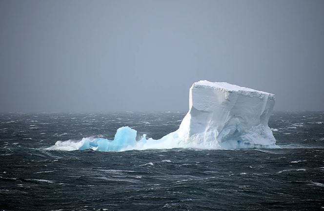
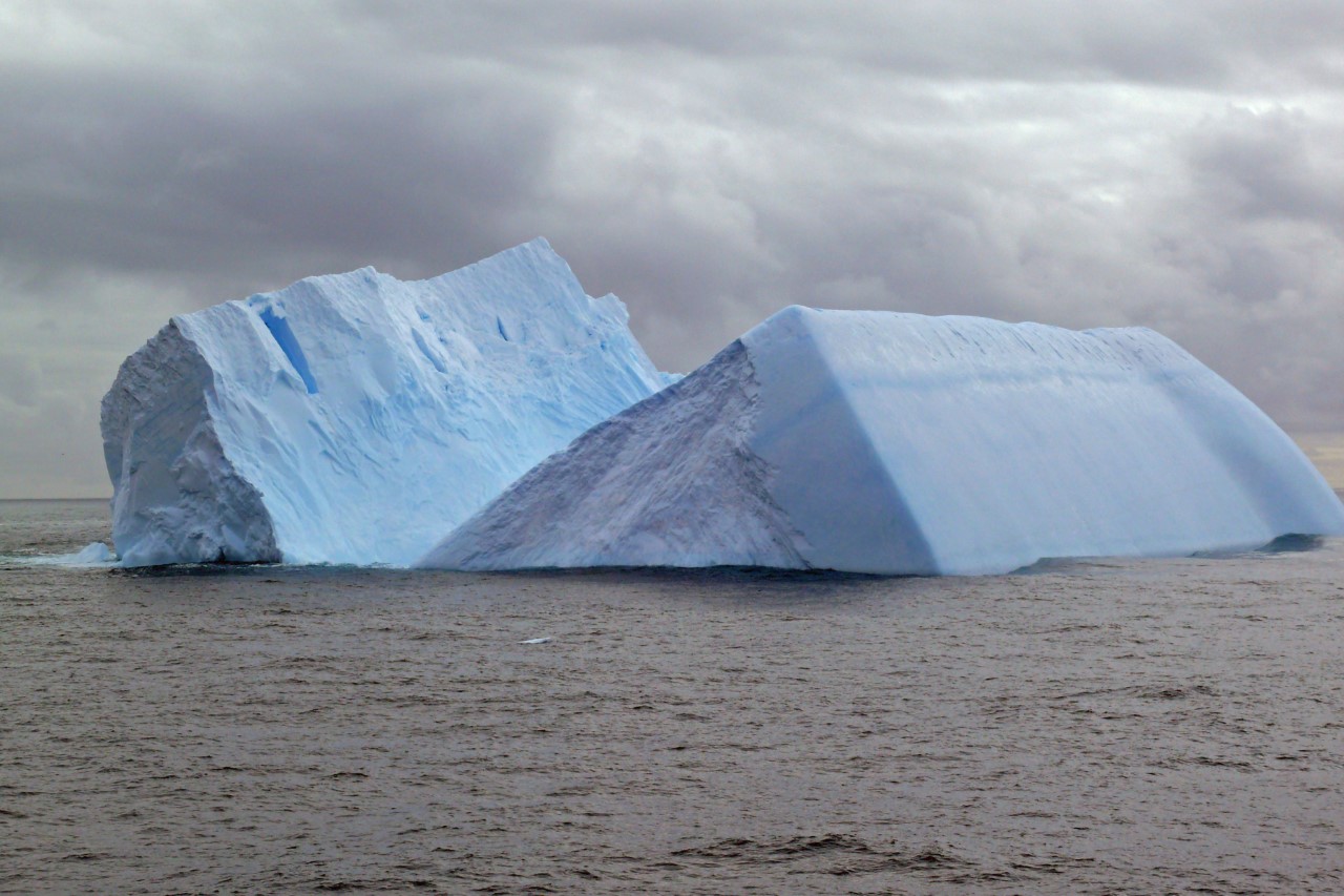
An iceberg is a mass of ice that has detached from land ice. It’s not to be confused with sea ice, which is ice that forms on the surface of the ocean as sea water freezes.
Icebergs can be very small (the size of a small car) or enormous (the size of a state or small country). The largest iceberg ever recorded was called B15, and it was as big as the island of Jamaica, around 11,000 square km (4,200 square miles)! Smaller bergs are often the result of the large ones falling apart.
How do icebergs form?
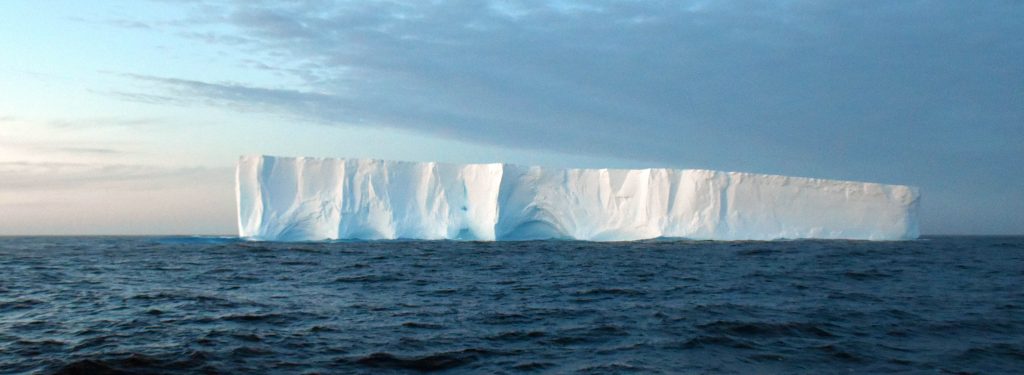
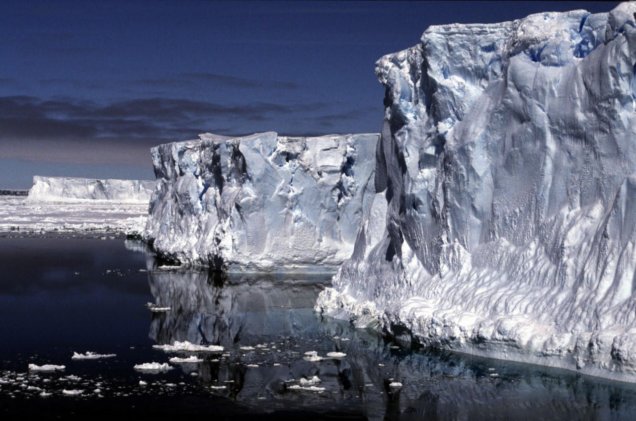
Icebergs break off the margins (edges) of ice shelves and glaciers. This process is called calving.
An ice shelf is a floating sheet of ice attached to the land. Ice shelves are important because they have a buttressing effect—that is, they act as a wall, holding back the ice flowing behind them.
Glaciers carry debris
As glaciers grind across the land, they also pick up rocks and dirt. When an iceberg calves from a glacier, it carries its load of rocky hitchhikers far out into the ocean, until it melts.
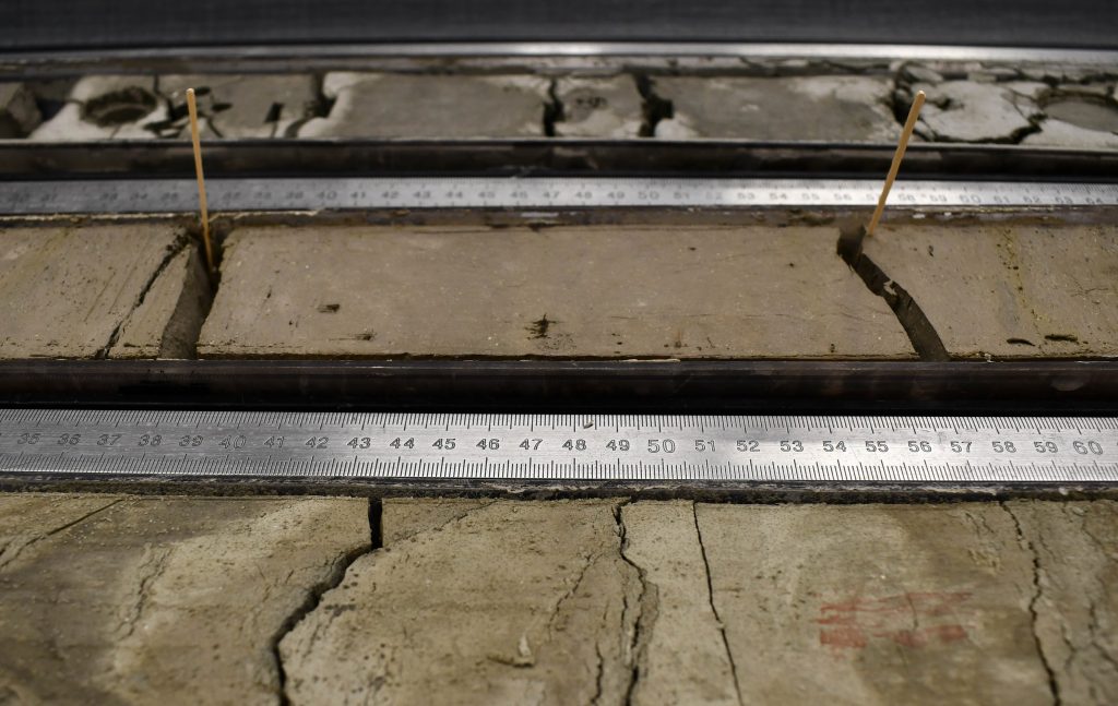
It’s this material—called iceberg-rafted debris because the iceberg is literally acting like its raft—that we are here to study. As icebergs melt, this debris falls to the seafloor and accumulates as sediment. We will drill deep into the seafloor to retrieve long cylinders of this mud, called cores.
What can these cores tell us?
Sediment cores taken from the area where many icebergs melt (Iceberg Alley!) will tell us much about the past history of melting of the Antarctic Ice Sheet. The dating of the sediment tells us when the icebergs calved. The chemical and physical properties of the sediment can tell us which part of Antarctica they came from.
All of this information can tell us more about the stability of the Antarctic Ice Sheet in the past, especially during times that were warmer than today. We can compare this knowledge to other data about sea level rise and climate at other times in Earth’s history.
My hope is that our expedition will unravel the mysteries of the Antarctic ice-sheet dynamics for the past, and this may tell us something about its course in the near future.
~Mike Weber, co-Chief Scientist
As our planet rapidly warms to due our greenhouse gas emissions, knowing how the Antarctic Ice Sheet may behave has never been more important. Understanding what happened in the past is a good indicator of what may happen to global sea levels in the future.
Rising seas from global warming and the melting of polar ice will impact the lives of hundreds of millions of people around the world who live near the coast. It is essential that we better understand the physics of polar ice sheets so we can better predict the future.
~Maureen Raymo, co-Chief Scientist
And so, we venture forth, on the mighty JOIDES Resolution, into the wild, frigid seas known as Iceberg Alley, to uncover the secrets of the past and to better prepare for an uncertain future.