Learn About Seafloor Spreading with Real Ocean Drilling Data
In the last “Educator Ideas” blog, I shared an activity that showed students what it looks like when an ocean plate moves over a hotspot. Deep Earth Academy has an activity for 5th-8th graders that shows how ocean plates move through seafloor spreading that can be used in conjunction with the first one. It is an activity that is especially cool because it not only allows students to learn what we know, it also gives them insight into how we know it. Even better, it uses real data from an ocean drilling expedition from the JOIDES Resolution’s predecessor the Glomar Challenger. And to take to take the cake, it was the expedition that helped to prove that the seafloor-spreading hypothesis was more than a hypothesis and was really happening on the ocean floor.
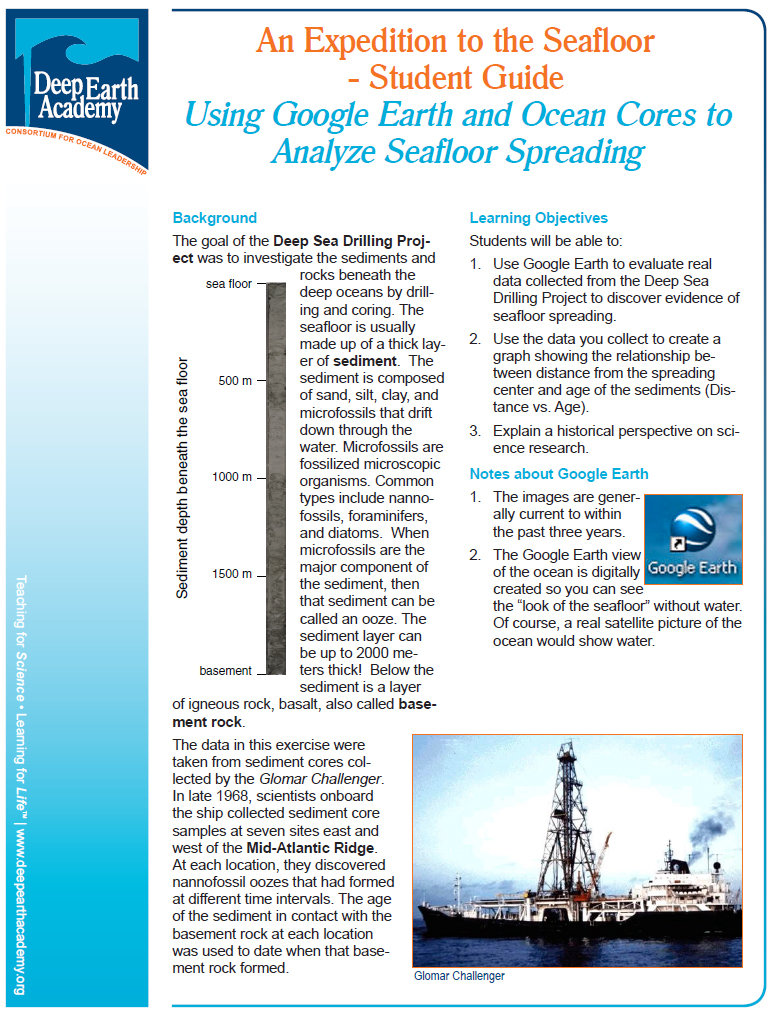
This activity, called “An Expedition to the Seafloor,” requires Google Earth, which I have already sung the praises of in an earlier post. You download a small Google Earth overlay from the activity’s webpage, which, when you open Google Earth, will bring you immediately to the Mid-Atlantic Ridge. Next to the ridge, you will find the positions of the drilling sites from the Glomar Challenger expedition. Each of these drilling sites can be opened on Google Earth to reveal data taken from the expedition. Students can record the data, plot it on a graph and then discuss their observations. From the data, they can see that the seafloor becomes older the farther away you are from the Mid-Atlantic Ridge. The activity is very straightforward, so much so that I had great success using it with a group of 9-11 year olds in a summer camp program, an educational situation where children tend not to be at their most focused.
Click on “An Expedition to the Seafloor” to see the lesson plans and download the Google Earth overlay.
why do the samples get older as you move east or west of the ridge?