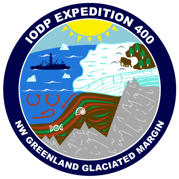
NW Greenland Glaciated Margin
Expedition Summary
The Greenland Ice Sheet holds a large amount of fresh water, equivalent to ~7.4 m of global sea level
rise if it were to melt. Recent studies have demonstrated the sensitivity of the Greenland Ice Sheet to climate warming, and indicate the potential impact of the resulting meltwaters on global sea level rise and oceanic circulation patterns. However, the ice sheet’s response to major climate change is poorly constrained by data, leading to a knowledge gap that limits our ability to confidently project future cryospheric responses.
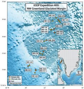
Expedition 400 will conduct a transect of sites in the semi-enclosed basin of Baffin Bay. By targeting
high-accumulation rate sites that span the last 25 – 30 million years of Earth’s history, located close to
major glacial outlets, it is hoped that the scientists will be able to map the extremes of the Greenland
Ice Sheet, from maximum glaciated limits to periods with possible total ice loss. By correlating these
fluctuations to global climate changes, ocean circulation and heat distribution changes, as well as
orbital and tectonic forcings, scientists will better understand what influences the Greenland Ice Sheet
over a range of timescales.
To view the Expedition 400 science objectives, click here.
* * *
 Through a special collaboration with Reach the World, Outreach Officers developed a series of student-friendly blogs and activities during the expedition. Click the link to watch videos, read field notes, journal entries, and immerse yourself and your students in the science of #EXP400.
* * *
 Watch the Expedition 400 playlist including the Discovery On Deck series, Open House event, Reach the World educational events, and language tours of the JOIDES Resolution in Danish and French.


