Expedition 390 wind and ship heading, as told through data
To increase accessibility to our expedition, click to listen to the page text read aloud.
We are excited to have so many ship-to-shore broadcasts scheduled for Expedition 390. In addition to providing teachers Educator Resources for EXP 390 for our two months at sea, we are providing some data that we collected during our time on the water. We suggest some questions you can use as a starting point to engage your students with the data. There are plenty of additional ways students can build their quantitative skills from our expedition, such as generating graphs for comparison or seeing if they can make any observations on their own.
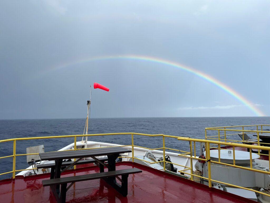
Wind measurements
Measurements of wind speed and direction are recorded each day while JOIDES Resolution is out at sea. In our data table, you will see the values for the average wind speed, maximum wind speed, and wind direction.
The units we present here for wind is knots. One knot is a unit of speed based on nautical miles. One knot equals one nautical mile per hour, which is the same as 1.1508 miles per hour measured on land (statute miles). For more information on these units, see NOAA’s pages on What is a “knot”? and What is the difference between a nautical mile and a knot?
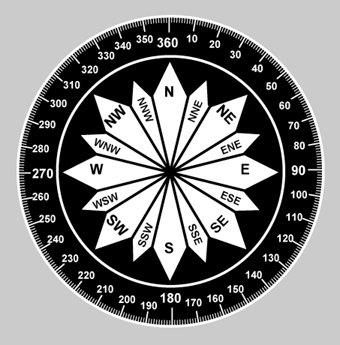
For wind direction, we report the value from zero to 360 degrees, where north is 360 degrees. The direction is measured from true north, not magnetic north, in a clockwise direction. A wind direction of zero degrees is only used when there is no wind.
Ship’s heading
The heading is defined as the direction in which a ship (or any other vehicle) is pointing at any given moment. It is also presented with a value of zero to 360 degrees in a clockwise direction, starting with zero degrees north. For a ship, the heading is determined from the direction the bow (front of ship) is pointed.
We share some starter questions for teachers to use with students while exploring our wind and ship’s heading data:
- If you were to plot the data for wind speed, what type of graph would you create? Which data would you put on each axis? Would this be the same type of graph to plot wind direction, or would you use something else? Explain.
- Which day had the highest average wind speed? Was it the same day that had the highest maximum wind speed? Why might these days be the same date or different dates?
- Compare the values in the wind direction column with the ship’s heading column. Are they the same, or different? How many degrees different are the data for the same date?
- Which date(s) had the largest gap between the wind direction and the ship’s heading? Why do you think this might be so?
- Why might someone want to look at the maximum wind speed instead of the average wind speed?
- What other data could you look at to better understand the wind experienced by the ship? For example, would it be helpful to know if the sun was out on a low wind day? Would it be helpful to know if there were strong winds that day? etc.
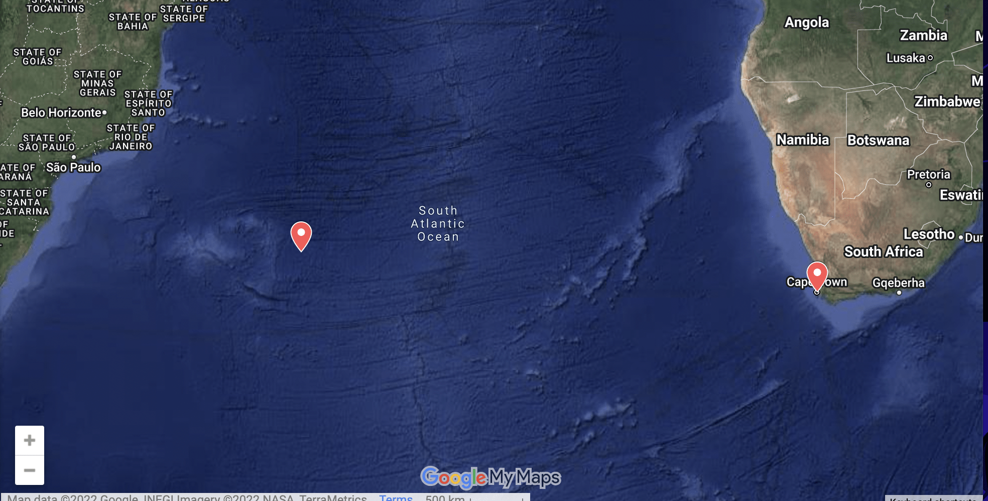
- Look at the map that shows the plot of where JOIDES Resolution has been. The ship started and ended its two-month expedition from Cape Town, South Africa. What heading would the ship have to take to sail closest to your home?
Here you can access the full wind and ship’s heading data for the expedition in the spreadsheet.
*Click on this link to open the entire file in Google Sheets (viewer mode only)
For additional quantitative exercises working with data from Expedition 390, please visit our other blog posts:
- Expedition 390 fuel, distance, time, and speed, as told through data
- Expedition 390 ship motion (heave), as told through data
- Blue Skies and Cloud Cover on Expedition 390 (*cloud cover data for the full expedition)
- Our Transit to the First Drill Site, As Told Through Data (*includes daily data for time of travel, distance, speed, wind, waves, swell, heave, during our initial nine-day transit)