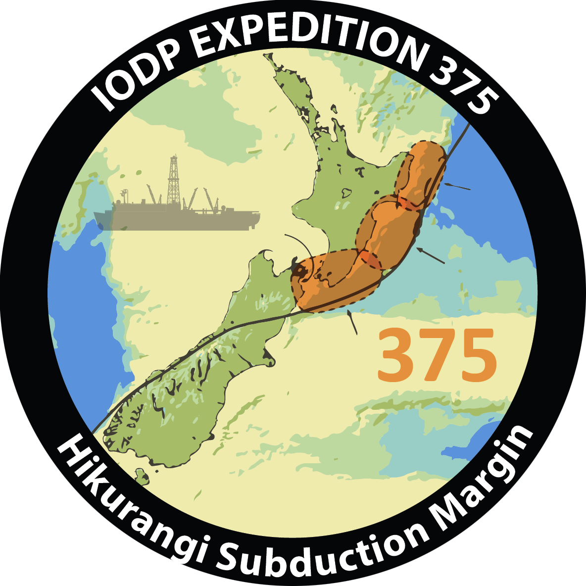
Hikurangi Subduction Margin Coring and Observatories
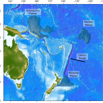
New Zealand experiences many earthquakes because it is positioned on top of a boundary between two tectonic plates in the southwestern Pacific Ocean, where one tectonic plate (the Pacific plate) pushes beneath the Australian plate through a process called subduction.
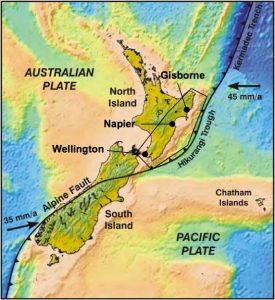
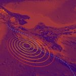
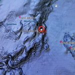
The long subduction zone that is formed off the east coast of the North island is called the Hikurangi Subduction Zone. The Hikurangi Subduction Zone is poorly understood, yet potentially the largest source of earthquake and tsunami hazard in New Zealand.
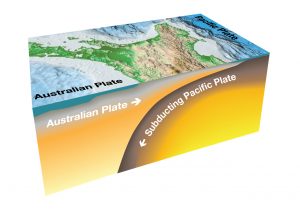
It is also the best place to study slow slip events (also referred to as “slow earthquakes” or “silent earthquakes”). Slow slip events (SSEs) are where movement between the tectonic plates occurs slowly across the subduction zone, over a period of weeks to months, rather than suddenly in a large earthquake.
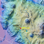
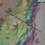
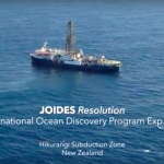
The world’s shallowest slow slip events occur just offshore of the North Island’s East Coast, near Gisborne, and so were an ideal place to bring the science and drilling capabilities of the JOIDES Resolution to understand why they occur.
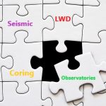
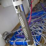
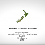
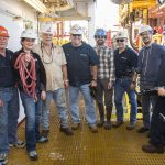
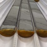
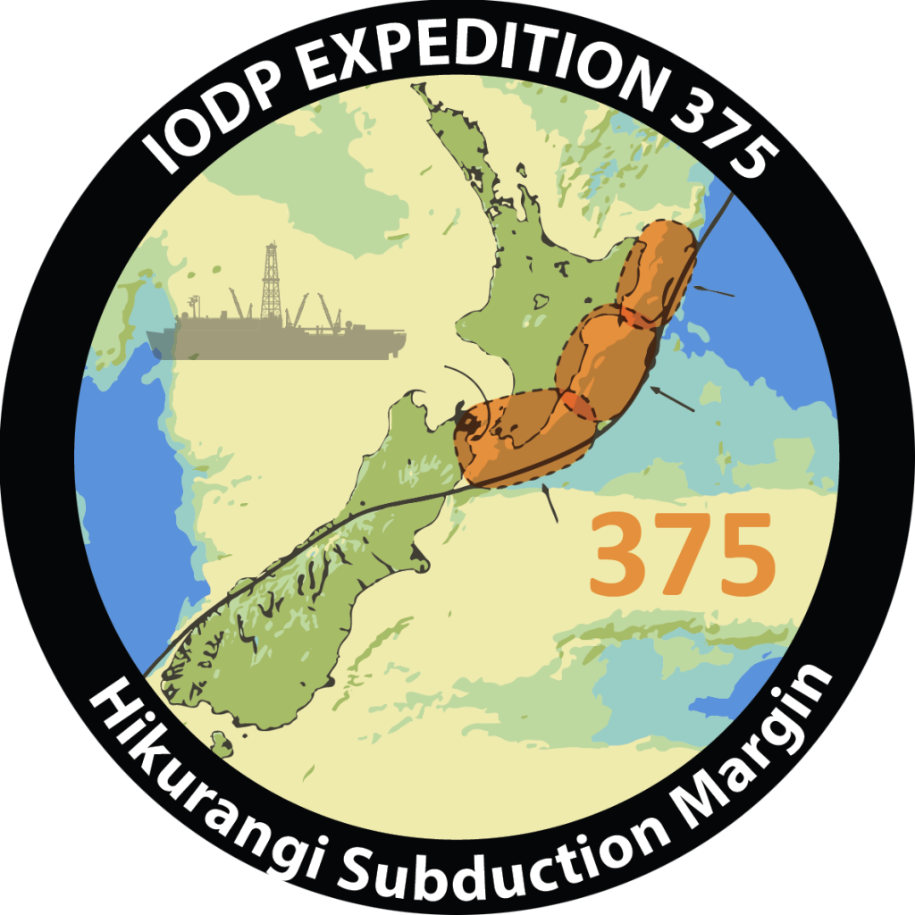
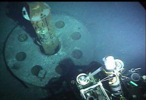
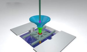
Expedition #375 was positioned in this area from March-May 2018 extracting drill cores for analysis and inserting observatories into two of the drill holes to investigate the processes and the conditions that underlie slow slip events. These instruments form a long-term offshore observatory to monitor the Hikurangi Subduction Zone and improve our understanding of the earthquake and tsunami potential of this large undersea fault system.
Want to read more?
Our expedition blogs are here: https://joidesresolution.org//expedition/375/
You can also read more about the five-year research programme to understand New Zealand’s largest fault here
