Sumatra Seismogenic Zone
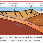
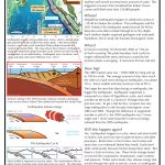
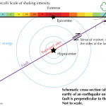
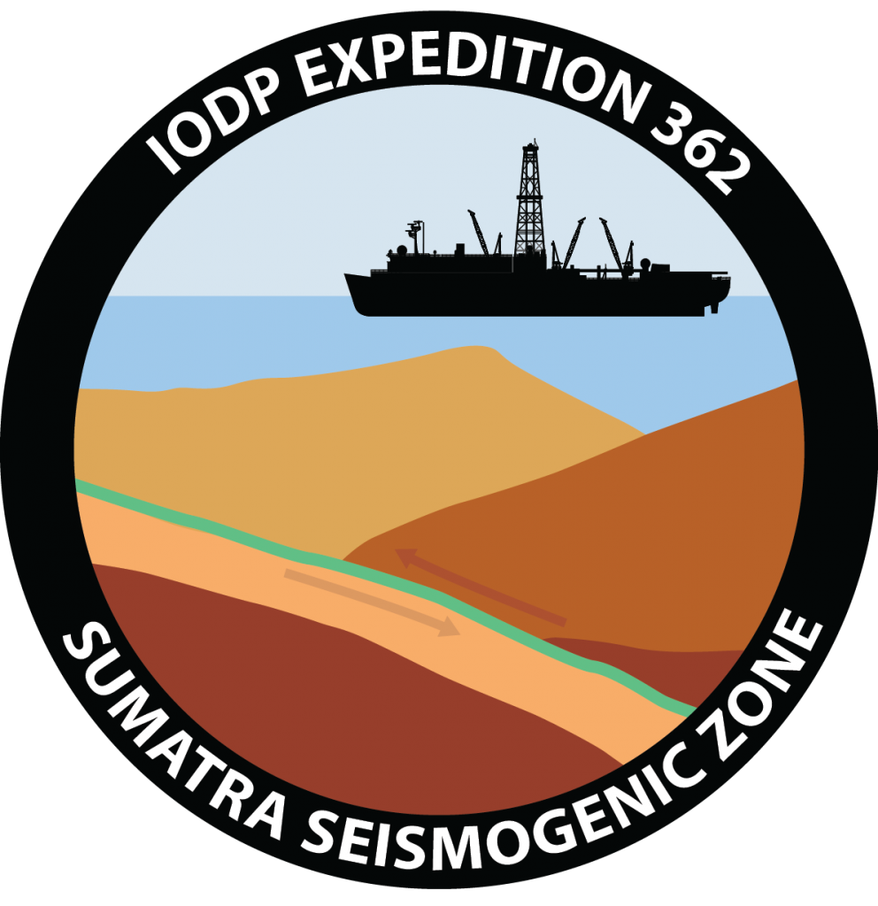
We spent two months drilling into the ocean floor west of Indonesia trying to figure out everything we could from the sand, silt, clay, and fossils at the bottom of the ocean! In particular, scientists wanted to know if the sediments on the Indo-Australian plate have specific characteristics which can explain why the earthquake of 2004 took place under the accretionary prism (see the figure below) rather than deeper along the plate boundary. (An accretionary prism is the pile of sediments scraped off the down-going plate at the subduction margin.)
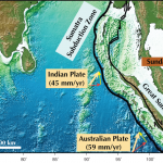
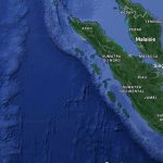
Several kilometers of sediments have settled to the ocean floor at the drill sites. These sediments get transported to the Sunda subduction zone by the tectonic plate on which they rest (the Indian Plate, in this case). The thickness of the sediments stacked on the seafloor increases toward the subduction zone, where the thickness reaches as much as 5 km. The Sunda subduction zone is a place where two tectonic plates meet: the fault between the two plates is where the big earthquakes happen. We wanted to sample the sediments before they develop into the faulted plate boundary region so that we could learn about their physics, chemistry, temperature, and pressure. These variables change as the sediments become more deeply buried and eventually turn into brittle rocks. Under stress, the rocks break along faults and cause earthquakes.
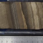
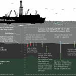
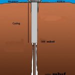
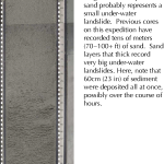
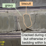
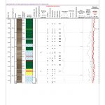
We drilled through 1.5 km (about 1 mile) of sediment to sample the sediments that get scraped off the seafloor before they get caught in the faults were these earthquakes happen. Scientists on board described what the sediments are made of, identified fossils to tell when and where the sediments formed, and worked out how they might deform when pressures and temperatures get much higher. In addition to finding out the “recipe for disaster” that makes these sediments turn into earthquake-prone rocks, we learned about Earth’s climate in the past and the history of the Himalaya mountains.
