Search through the collection of expeditions, blogs, and resources specific to the topic of plate tectonics.
Plate Tectonics Expeditions
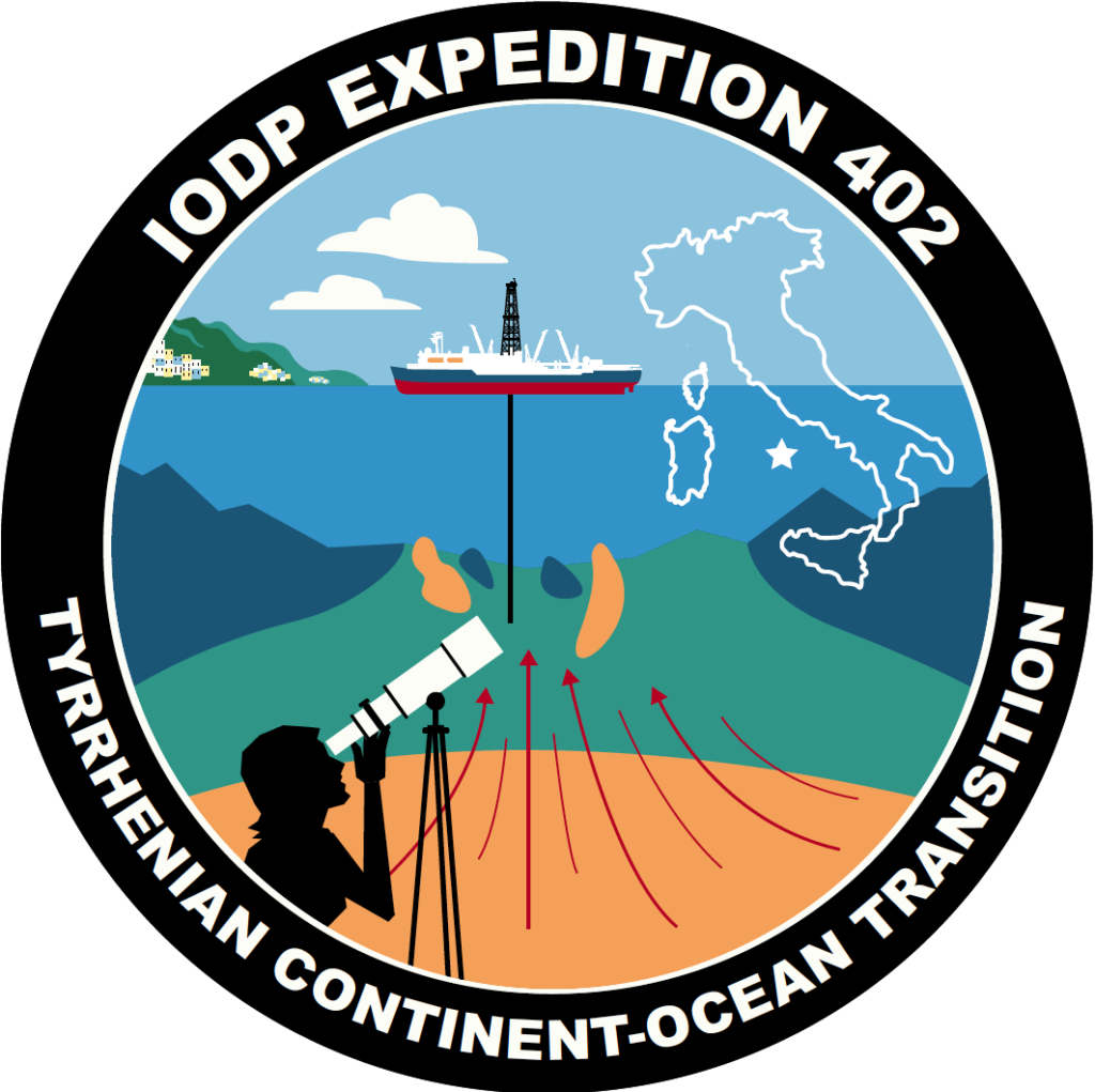
Tyrrhenian Continent Ocean Transition
The Tyrrhenian Basin is relatively young giving it a thin sedimentary cover making it a great place for data collection.its bedrock lithology and stratigraphy is extremely well documented by more than 40 y of academic investigations; a 30 m section of partially serpentinized peridotite has been already recovered in the center of the basin; and extensive recent seismic refraction and reflection experiments suggest that most of the basement in the center of the Tyrrhenian is made of exhumed mantle. Drilling will sample the mantle, the associated magmas, and the products of syntectonic, and possibly ongoing, fluid-rock interaction to evaluate the geochemical exchange between the lithosphere and the hydrosphere and potential related ecosystems.
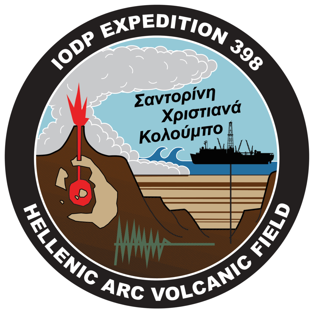
Hellenic Arc Volcanic Field
JR scientists drilled around Santorini, Christiana, and Kolumbo to investigate the volcanic system under the islands and learn whether tectonic plate movements trigger eruptions in this and other arc volcano systems.
Transit and Return to Walvis Ridge Hotspot
During transit from Cape Town to Lisbon, JOIDES Resolution scientists return to the Walvis Ridge (Tristan-Gough) hotspot track in this sister expedition to EXP391.
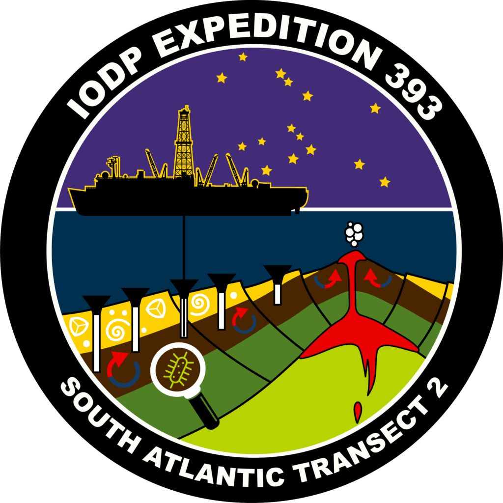
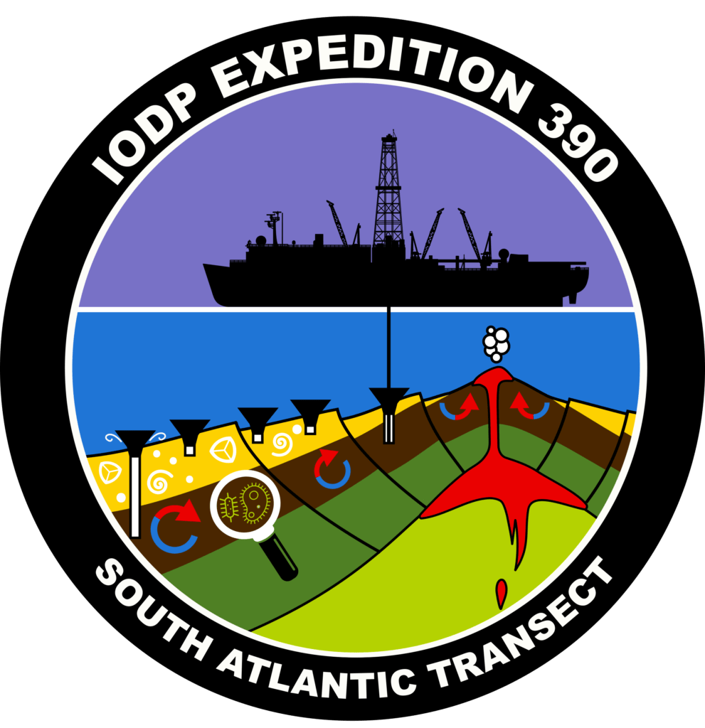
South Atlantic Transect 1
The South Atlantic Transect is a multidisciplinary investigation along a crustal flow line across the western flank of the southern Mid-Atlantic Ridge. The work will span across two expeditions, Exp. 390 and 393.
South Pacific Paleogene Climate
IODP Expedition 378 will investigate Cenozoic climate and oceanography through a drilling transect in the South Pacific Ocean.
Guaymas Basin Tectonics and Biosphere
Scientists in Expedition 385 will explore the intricate processes that arise in the Guaymas Basin.
Return to Hole U1503A (South China Sea)
Expedition 368X was planned to reoccupy a site started by Expedition 368. Due to equipment breakdown during Expedition 368, Hole U1503A was abandoned after installing casing to 991.5 m below sea floor. Expedition 368X was able to take advantage of a unique opportunity in the JOIDES Resolution schedule.
Te Kura Kohatu – School of Rock 2018
School of Rock 2018 will focus on Pacific Rim geology and the science research of the JOIDES Resolution. Field trips will explore the fascinating geological history of the Auckland NZ region, including arc and intraplate volcanism (Rangitoto Volcano above), and deep sea sedimentary processes.
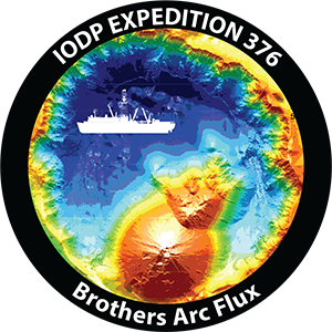
Brothers Arc Flux
Expedition 376 will study submarine hydrothermal systems at the Brothers Volcano in the Kermadec-Tonga Arc.
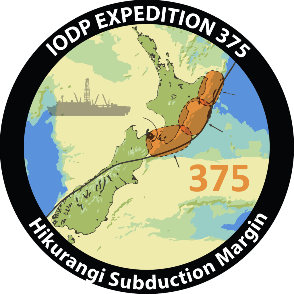
Hikurangi Subduction Margin Coring and Observatories
Scientists will study core samples and install two observatories to better understand the processes and conditions that underlie slow slip events at the Hikurangi Subduction Zone.
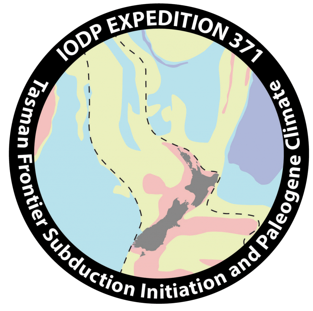
Tasman Frontier Subduction Initiation and Paleogene Climate
Expedition 371 aims is to improve the understanding of the role of plate tectonics in global climate evolution over the past 60 million years. To achieve this, the expedition primarily focuses on obtaining a precise date and metics which will allow the testing of alternate geodynamic models.
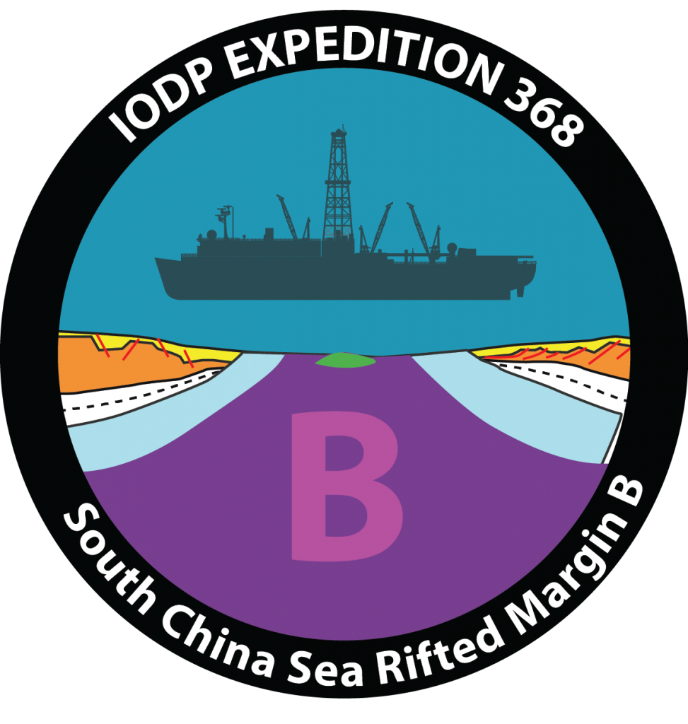
South China Sea Rifted Margin B
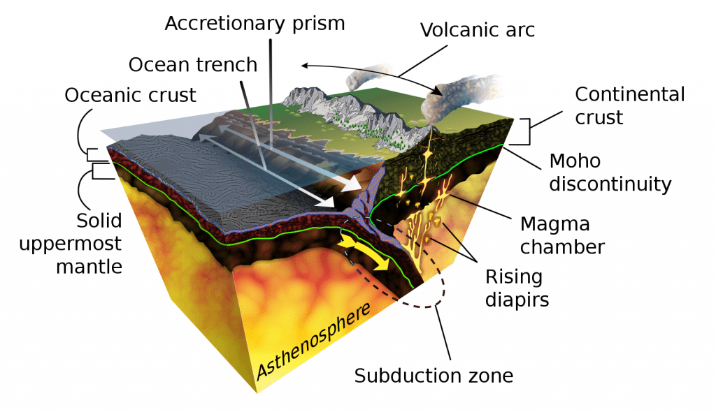
Along the South China Sea Rifted Margin (SCSRM) a thinning crust of Earth’s outermost shell, the lithosphere, creates a mystery to unravel. Expeditions 367 and 368 of the International Ocean Discovery Program worked together over the course of 4 months at sea to uncover the processes of continental break up. By retrieving core samples from the bottom of the SCSRM the team of 66 international scientists looked back in time, the geologic record, at the opening of SCSRM.
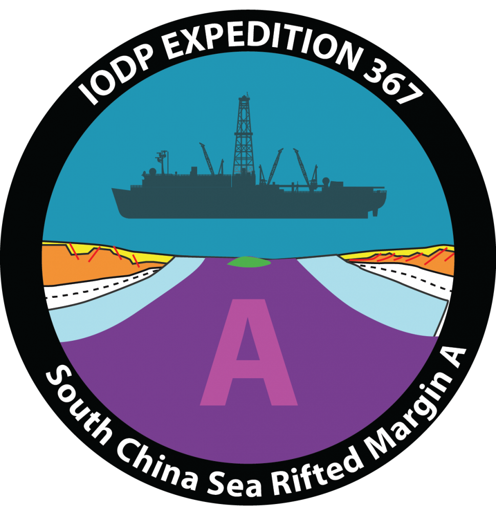
South China Sea Rifted Margin A
Which tectonic model is the one in action in the South China Sea? One of these two already known or even a third one? This was the main goal of Expedition 367 (and 368 also) in the South China Sea (SCS). By drilling along the SCS rifted margin scientists wanted to understand the mechanisms of lithosphere extension during continental breakup in a magma-poor rifted margin.
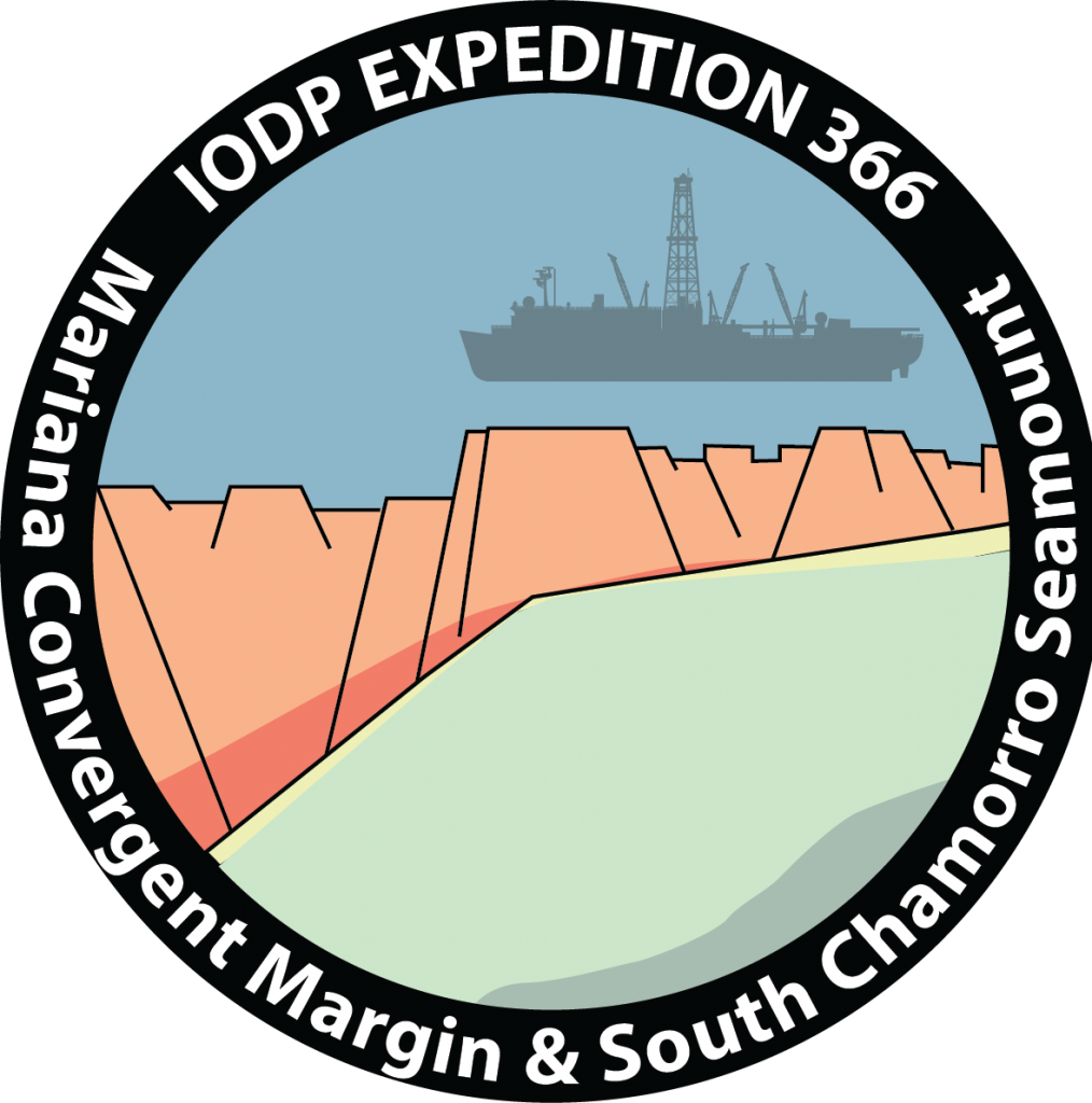
Mariana Convergent Margin
The scientists on this expedition hoped to learn (1) how sediments, fluids and chemicals move and cycle through the earth’s crust; (2) the role of tectonics and mud volcanoes in transporting fluids and sediments in subduction zones; and (3) how these physical and chemical movements impact living organisms.
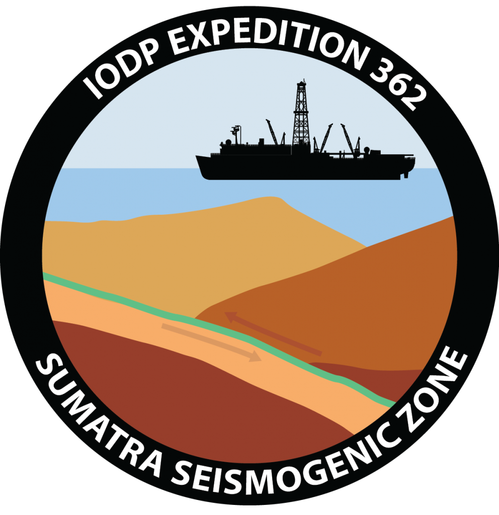
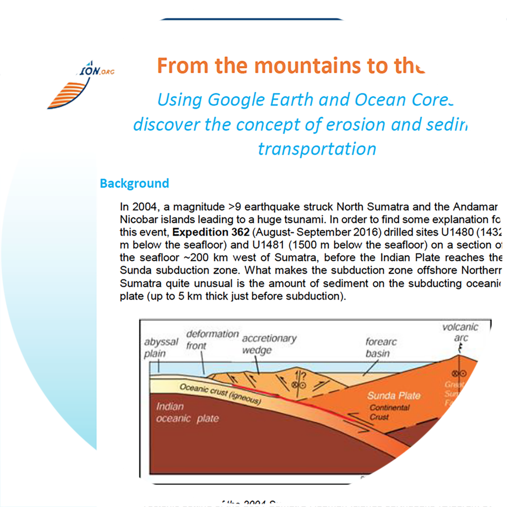
Sumatra Seismogenic Zone
Why do earthquakes happen where and when they do? This expedition observed the sediment that gets scraped off the seafloor before getting caught in faults where earthquakes occur.
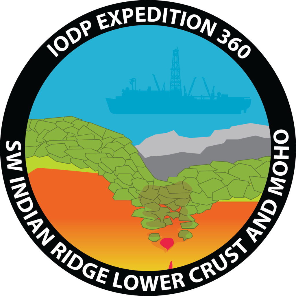
SW Indian Ridge
Scientists investigated the transition to Earth’s mantle, the creation of mid-ocean ridge basalt, and the limits of life in Earth’s crust.
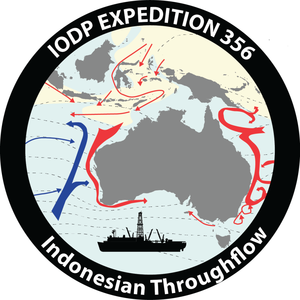
Indonesian Throughflow
The JOIDES Resolution investigated the northwest Australian shelf to answer questions about tectonics, Australian monsoon, and the development of ocean currents in this region.
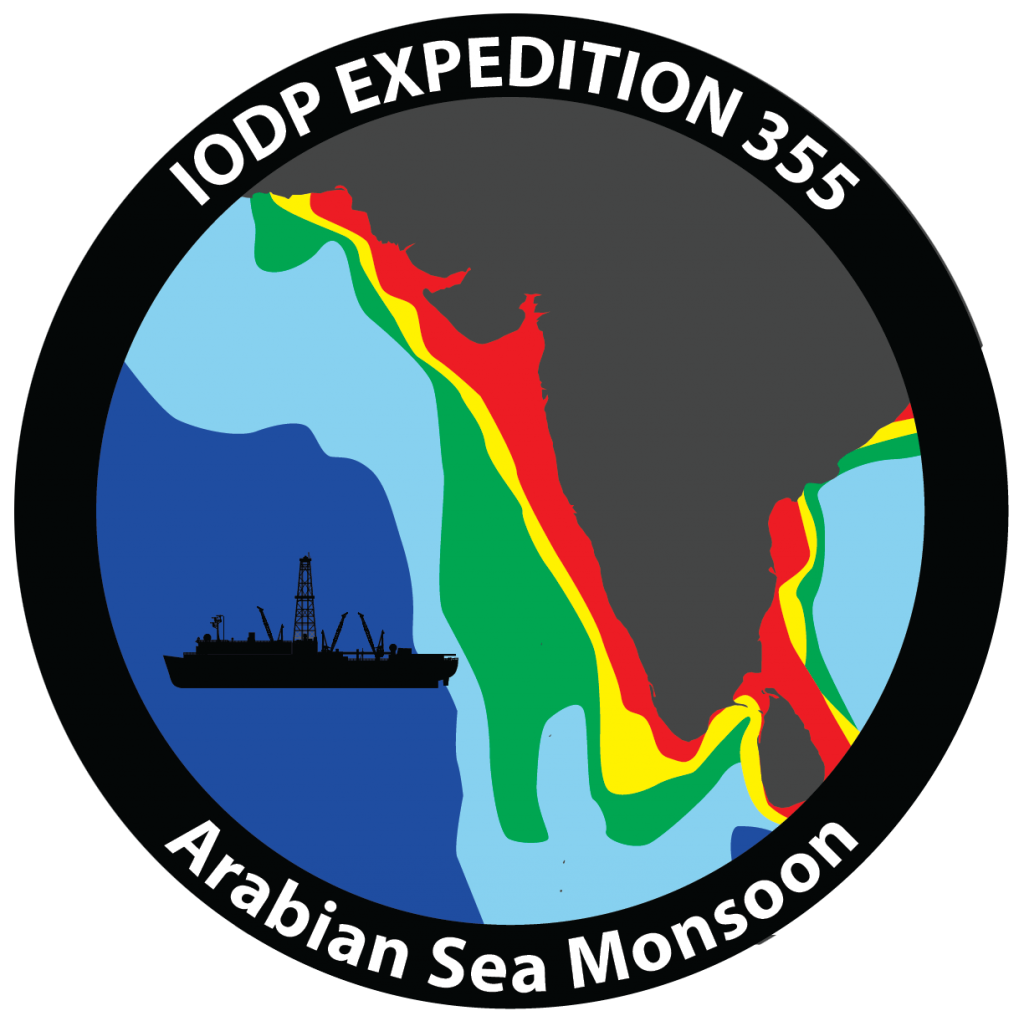
Arabian Sea Monsoon
Scientists sought to understand the interaction between the Himalayas and Tibetan plateau uplift and the development and evolution of the Indian summer monsoon.
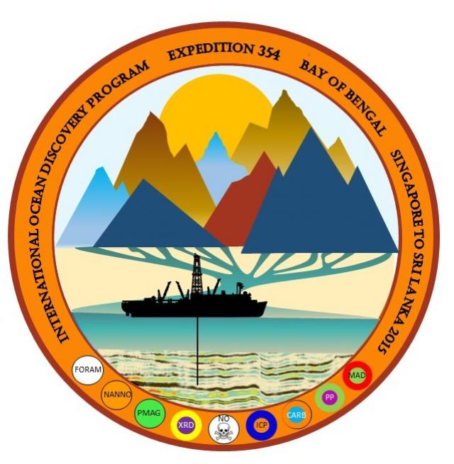
Bengal Fan
Scientists explored the relations between the growth of the Himalaya, the development of the monsoon cycle, and past global climate.
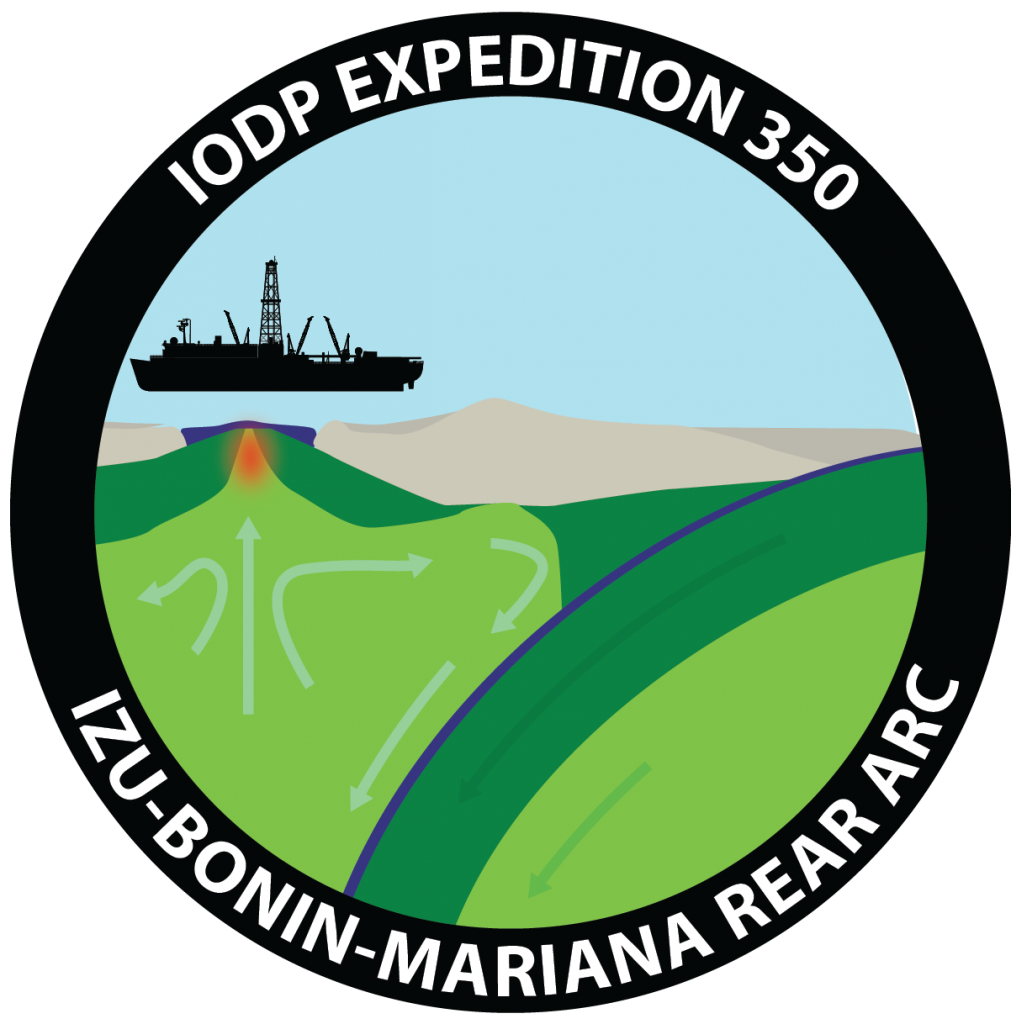
Izu-Bonin-Mariana Rear Arc
Scientists targeted the Izu-Bonin-Mariana (IBM) arc, off the southern coast of Japan, to understand the initiation and evolution of oceanic arcs which produce a string of volcanic islands above the subduction zone.
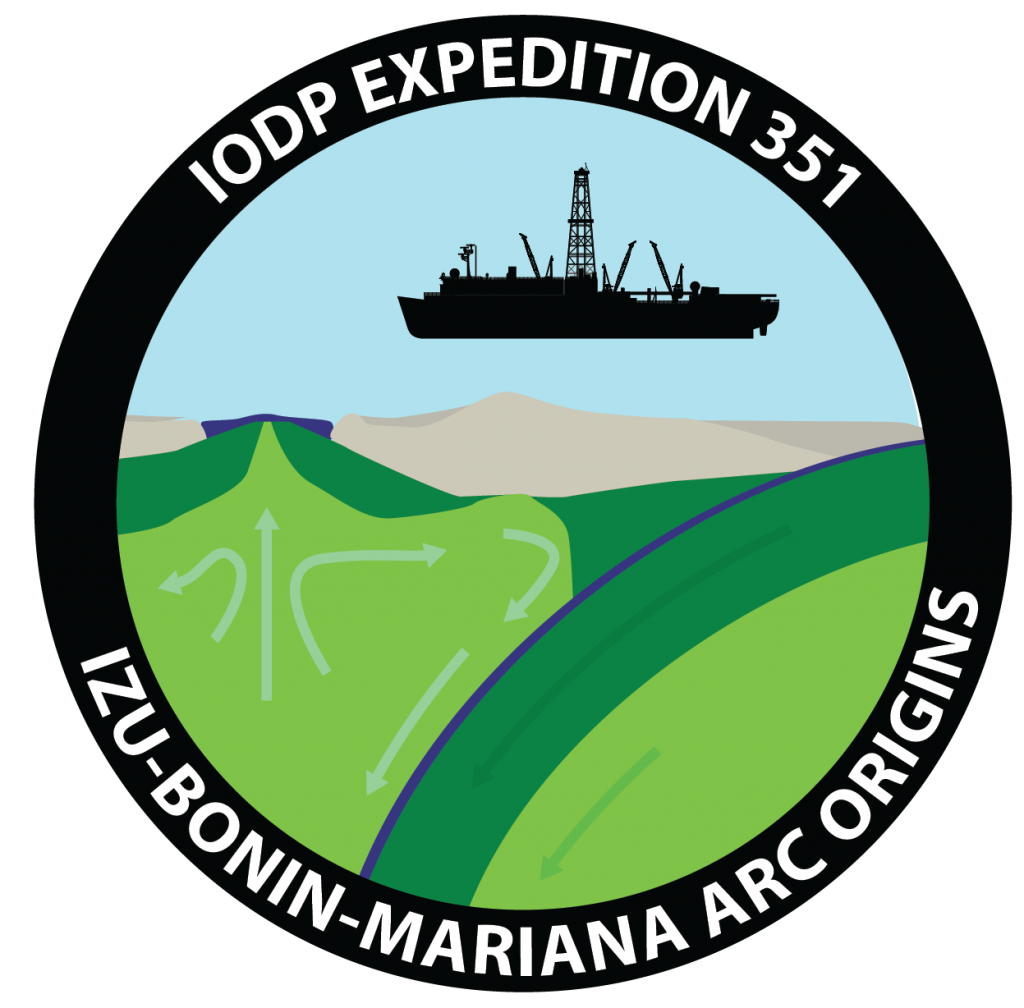
Izu-Bonin-Mariana Arc Origins
Scientists studied both the sediment of the oceanic crust and igneous basement to identify processes associated with subduction.
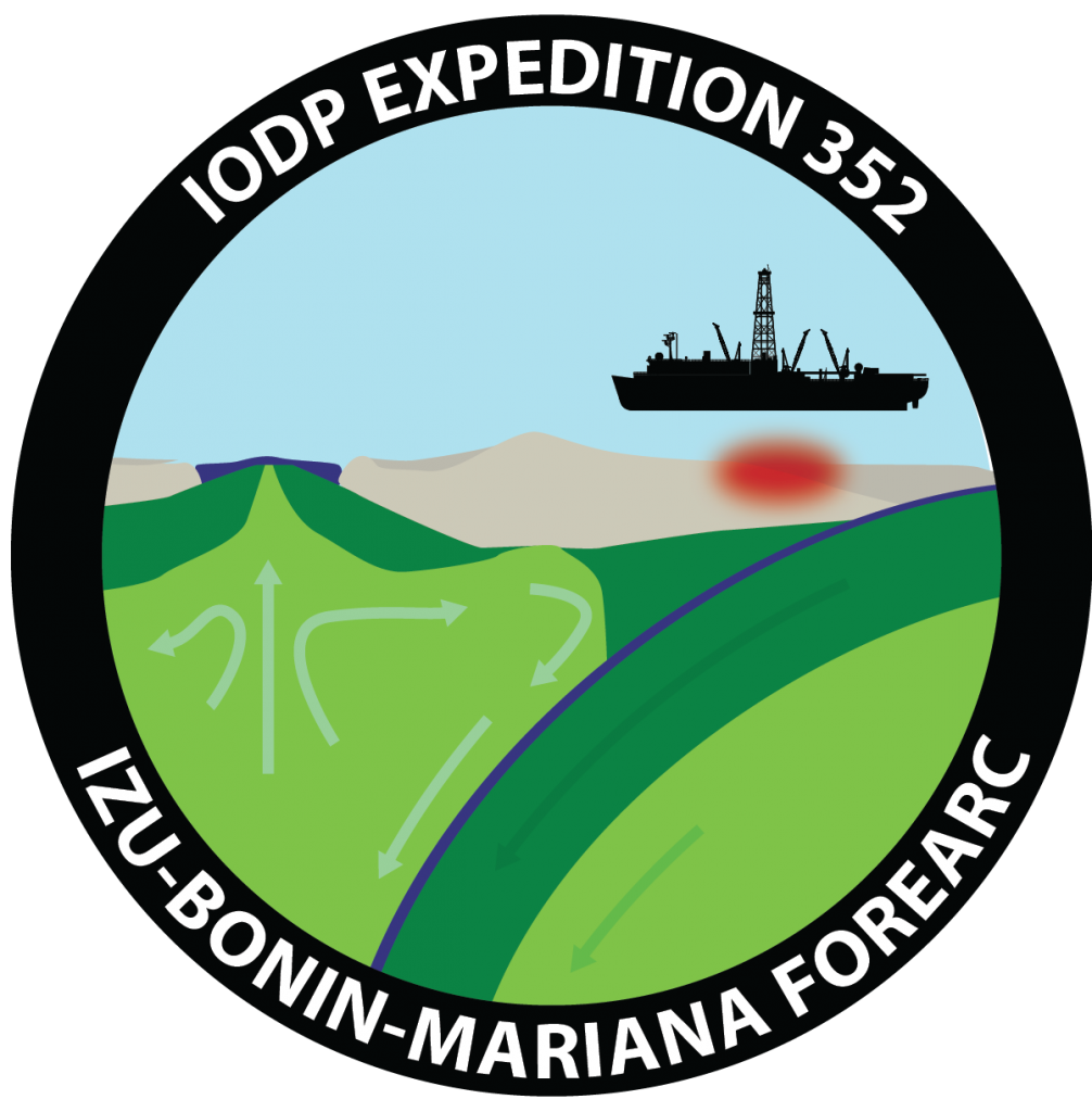
Izu-Bonin-Mariana Forearc
What happens at the edges of large oceanic plates when subduction begins?
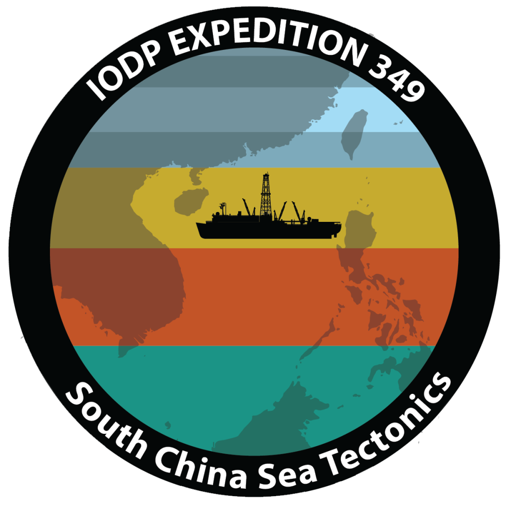
South China Sea Tectonics
Scientists investigated the formation of the South China Sea, a marginal sea in the Western Pacific located south of China and between the Philippines in the east and Vietnam in the west.
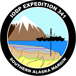
South Alaska Tectonics & Global Change
Scientists explored the evidence of glacial erosion and established the timing of advance and retreat cycles of ice sheets in the Southern Alaska Margin.
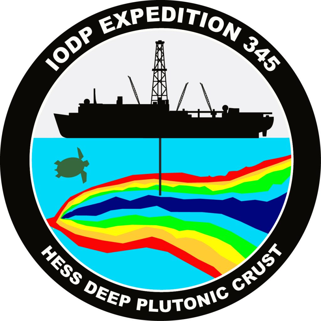
Hess Deep Plutonic Crust
Scientists sampled, for the first time, primitive magmatic rocks of the lower crust in the oceanic Pacific in order to understand the manufacturing process of the oceanic crust at a fast-spreading rift.
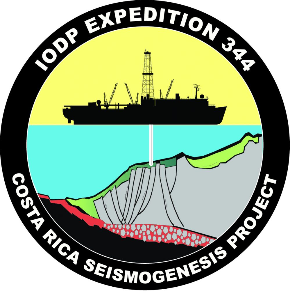
Costa Rica Seismogenesis Project
Scientists investigated how earthquakes form (seismogenesis) where plate boundaries exist, specifically in subduction zones.
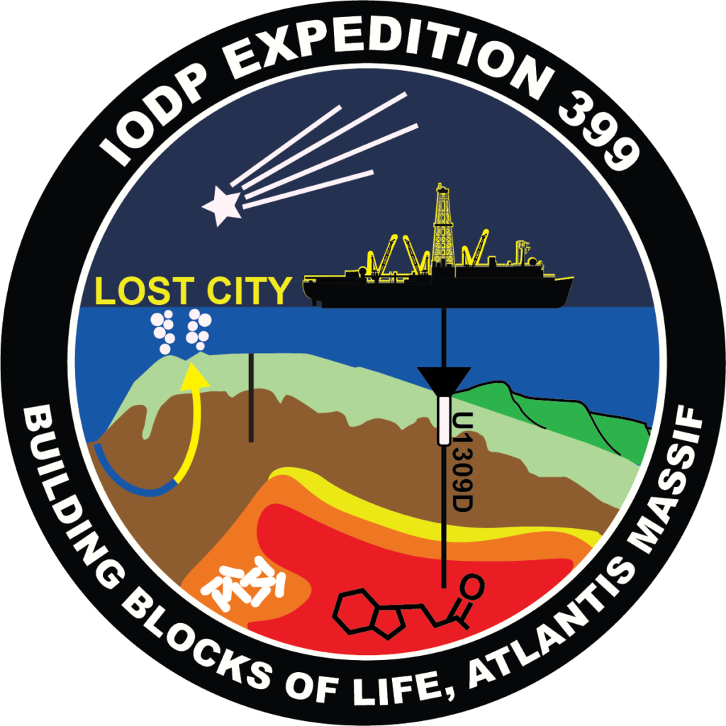
Atlantis Massif
Expedition 340T measured rock properties, how they varied with depth, and whether adjacent seawater temperatures changed. These data tested hypotheses about how crust forms and evolves at the slow-spreading Mid-Atlantic Ridge.
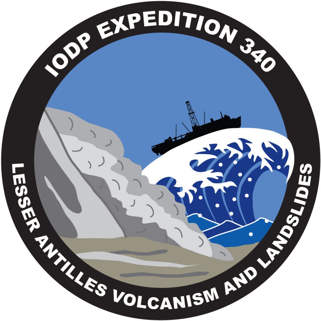
Lesser Antilles Volcanism and Landslides
An expedition to drill into volcanic landslide deposits (underwater avalanches) to investigate the long term geological history of the region and potential for natural hazards.
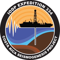
Costa Rica Seismogenesis Project
Scientists focused on the boundary conditions of lithology, fluid flow, and thermal structure that trigger unstable slip in the seismogenic zone to better understand the processes that control large earthquakes at these sites.
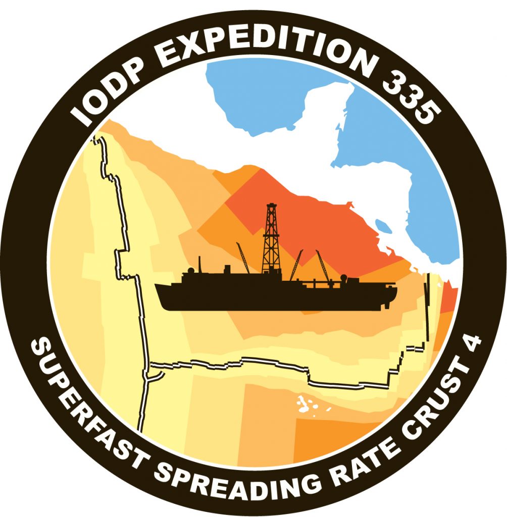
Superfast Spreading Rate Crust 4
Scientists drilled a deep hole into intact oceanic basement to understand the formation of oceanic crust and the magmatic rocks of the lower crust.
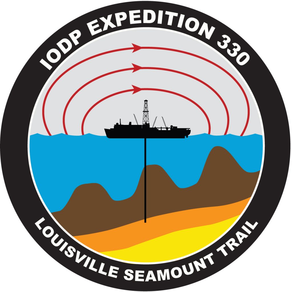
Louisville Seamount Trail
Scientists studied cores to better understand the movement and evolution of a hotspot that created a chain of underwater volcanoes.

Cascadia ACORK
A new subseafloor observatory (ACORK) was installed to monitor pressure at different depths in the ocean floor over time.
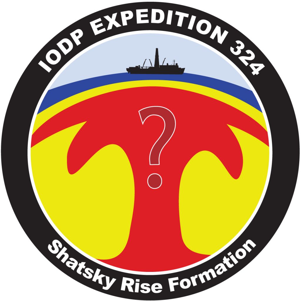
Shatsky Rise
Scientists explored the process of mantle convection and its impact on Earth’s surface through volcanism.
Plate Tectonics News

Classroom Activities About Plate Tectonics
- All
- Drilling
- Earthquakes
- Education
- Expeditions
- Geochemistry
- Geological time
- History of Earth
- Just for Kids
- Plate Tectonics
- STEM Careers
- Tsunami
- Volcanoes
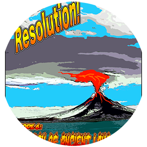
Episode 6: In Search of Ancient Lava Flows
This is a product of Borehole Research Group, to see more Click Here!
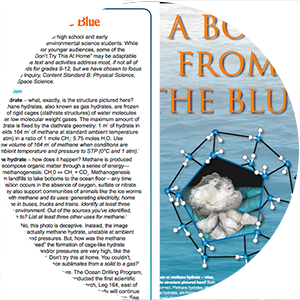
Like a Bolt from the Blue
Utilizing a series of clathrate structures, the poster reveals new windows of scientific research currently being performed in the complex study of gas hydrates. By visualizing the face of each clathrate structure through an image, the poster simplifies chemical concepts, enabling students to learn

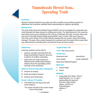
Sediment Deposition Supports Seafloor Spreading
Learning Objectives:
Students will be able to: