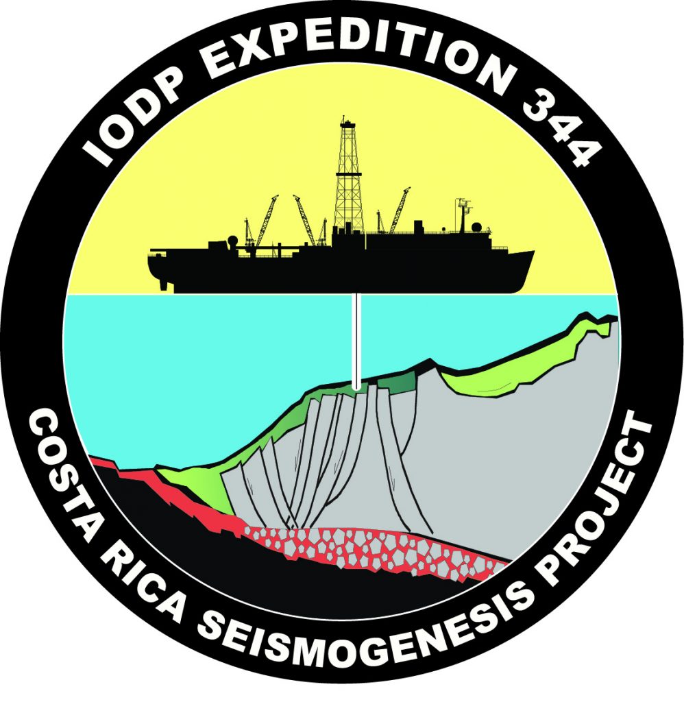
Costa Rica Seismogenesis Project
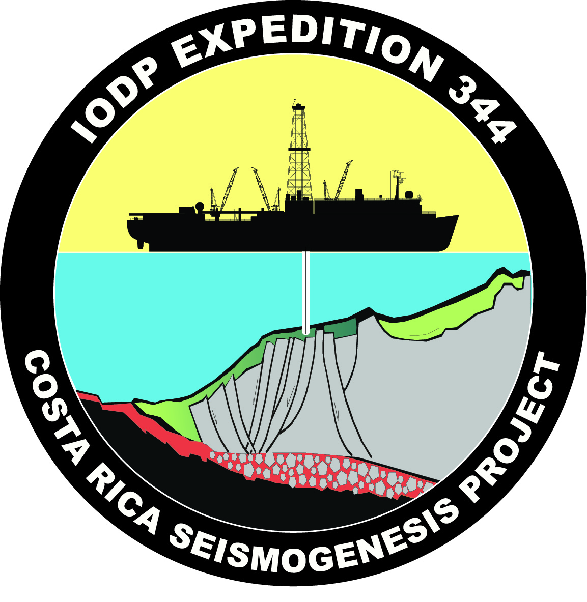
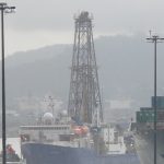
Have you ever felt an earthquake? The magnitude 9.0 earthquake in Japan in March 2011 brought earthquakes into the news in a big way! Costa Rica had a magnitude 7.6 earthquake in September 2012. These two events happened along a plate boundary where one plate is pushed under another plate, called a subduction zone. Expedition 344 scientists tried to understand how earthquakes form (seismogenesis) where plate boundaries exist, specifically in subduction zones.
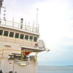
During the 47-day expedition, the JR scientists wanted to understand how and when the Cocos plate (in the Pacific Ocean) started pushing under the Caribbean Plate, which holds Guatemala, Honduras, El Salvador, Nicaragua, Costa Rica, and Panama. These countries make a land bridge that connects North America and South America. The CRISP (Costa Rica Seismogenesis Project) Expedition attempted to find out what is happening with these plates as they push under each other along the area called the Costa Rica Subduction Zone. This expedition continued where the first CRISP Expedition (Expedition 334, from March 13 to April 13, 2011) left off.
Specifically, the expedition (CRISP 2):
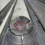
1. Recovered good quality sediment cores on the incoming plate (the Cocos plate)
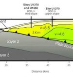
2. Drilled at the frontal prism sediments and decollement (see diagram below)

From: Long-term hydrogeochemical records
in the oceanic basement and forearc prism at
the Costa Rica subduction zone.
Diagram courtesy of M. Kastner (SIO)
Specifically, the scientific objectives were to:
1. Determine when the Cocos Plate started being pushed under the Carribean Plate and how that might have affected earthquake formation.
2. Determine when the volcanos and mountains in Central America formed.
3. Determine when some of the volcanos in Central America stopped erupting.
Scientifically Speaking…
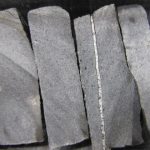
This expedition focused on sampling the rocks and fluids at the subduction zone, and measured the temperature and stresses that might cause the plates to slip and cause an earthquake.
Geologically Speaking…
About 5 million years ago, the subduction of the Cocos Plate under the Caribbean Plate caused the volcanic land bridge to start forming between North America and South America. Sixty-eight volcanoes, many still active, are included in this chain. When this land bridge formed, the climate of the entire planet was affected. The Atlantic Ocean and the Pacific Ocean were no longer connected, and the Gulf Stream started flowing north along the eastern side of North America. Animals and plants were now able to travel between the two continents, as well, introducing new species to both.
For a wonderful explanation of plate tectonics, watch National Geographic’s “Colliding Continents”
To read the full scientific prospectus, go to:
iodp.tamu.edu/scienceops/expeditions/costa_rica_seismogenesis.html
